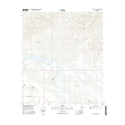
2016 Map of Big Delta A-4 NE
USGS Topo · Published 2016About this map
The Tanana River and its complex braided channels dominate this Interior Alaska landscape, where the glacial silt-fed waters converge with the Goodpaster River. The hydrology of the region is characterized by shifting waterways like Liscum Slough and the intricate drainage of the Goodpaster Flats, reflecting the dynamic nature of northern river systems. Higher ground rises to the west at Bluff Cabin Ridge and Fourmile Hill, providing a topographic contrast to the low-lying marshy basins.
Find a feature on this map
19 named features on this map. Tap any name to fly to it.
Don’t see what you’re looking for? This feature index may not catch every label — zoom into the map to look around manually.
Map Details
Editions of this 2016 Big Delta A-4 NE Map
This is the sole edition of this map. No revisions or reprints were ever made.
Other maps of this area

1950 · Big Delta
USGS Topo · 1:250,000

1950 · Big Delta A-4
USGS Topo · 1:63,360

1950 · Big Delta B-4
USGS Topo · 1:63,360

1951 · Big Delta
USGS Topo · 1:250,000

1952 · Big Delta A-4
USGS Topo · 1:63,360

1953 · Big Delta B-4
USGS Topo · 1:63,360

1955 · Big Delta A-3
USGS Topo · 1:63,360

1958 · Big Delta B-3
USGS Topo · 1:63,360

1958 · Big Delta
USGS Topo · 1:250,000
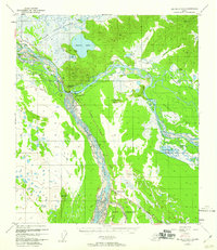
1959 · Big Delta A-4
USGS Topo · 1:63,360