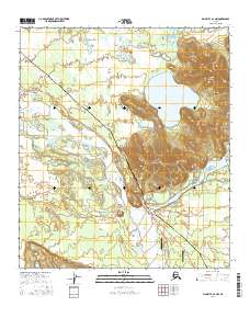
2016 Map of Big Delta A-4 NW
USGS Topo · Published 2016About this map
The confluence of the Delta River and the Tanana River dominates this interior Alaska landscape, where the shifting braided channels meet the expansive Shaw Creek Flats. The infrastructure of the modern frontier is clearly visible, with the Alaska Pipeline and Richardson Highway cutting across the terrain toward the settlement of Whitestone. This 2016 survey captures a region defined by its transit corridors and recreational geography, featuring Quartz Lake and Lost Lake at the edge of the Tanana's northern banks.
Find a feature on this map
26 named features on this map. Tap any name to fly to it.
Don’t see what you’re looking for? This feature index may not catch every label — zoom into the map to look around manually.
Map Details
Editions of this 2016 Big Delta A-4 NW Map
This is the sole edition of this map. No revisions or reprints were ever made.
Other maps of this area

1949 · Big Delta B-5
USGS Topo · 1:63,360

1950 · Big Delta
USGS Topo · 1:250,000

1950 · Big Delta A-5
USGS Topo · 1:63,360

1950 · Big Delta A-4
USGS Topo · 1:63,360

1950 · Big Delta B-4
USGS Topo · 1:63,360

1951 · Big Delta
USGS Topo · 1:250,000

1952 · Big Delta A-5
USGS Topo · 1:63,360

1952 · Big Delta A-4
USGS Topo · 1:63,360

1952 · Big Delta B-5
USGS Topo · 1:63,360

1953 · Big Delta B-4
USGS Topo · 1:63,360