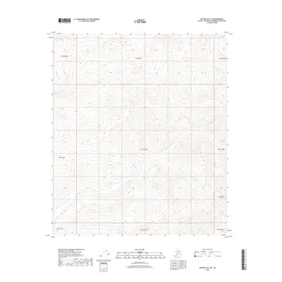
2018 Map of Big Delta B-1 SW
USGS Topo · Published 2018About this map
The Mertie Mountains dominate the interior of this Alaska interior landscape, where high ridgelines overlook a network of alpine drainage systems. The W Fork S Fork Goodpaster River winds through the southern portion of the territory, serving as a primary hydrological feature for this part of the Southeast Fairbanks Census Area. Smaller tributaries like Central Cr and Tibbs Cr carve deep valleys into the terrain, reflecting the geological processes that shaped the Tanana Valley watershed. While the map is devoid of human settlements or road infrastructure, the presence of Antimony Cr hints at the region's mineral history, as antimony is a traditional target for prospecting in the Alaskan wilderness. This survey provides a baseline of the land's physical state in the early 21st century, illustrating the complex relief of the Yukon-Tanana Uplands.
Find a feature on this map
17 named features on this map. Tap any name to fly to it.
Don’t see what you’re looking for? This feature index may not catch every label — zoom into the map to look around manually.
Map Details
Editions of this 2018 Big Delta B-1 SW Map
This is the sole edition of this map. No revisions or reprints were ever made.
Other maps of this area

1950 · Big Delta
USGS Topo · 1:250,000

1951 · Big Delta
USGS Topo · 1:250,000

1954 · Big Delta A-2
USGS Topo · 1:63,360

1955 · Big Delta A-1
USGS Topo · 1:63,360

1955 · Big Delta A-2
USGS Topo · 1:63,360

1958 · Big Delta B-2
USGS Topo · 1:63,360

1958 · Big Delta B-1
USGS Topo · 1:63,360

1958 · Big Delta
USGS Topo · 1:250,000
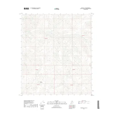
2018 · Big Delta A-1 NE
USGS Topo · 1:25,000
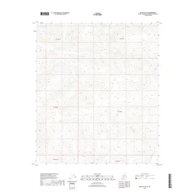
2018 · Big Delta B-2 SE
USGS Topo · 1:25,000