
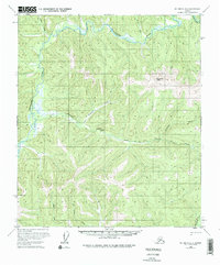
1958 Map of Big Delta B-2
USGS Topo · Published 1965About this map
The Goodpaster River winds through this interior Alaskan wilderness, serving as the primary drainage for a landscape defined by sharp elevation changes and high ridges. During the mid-1950s, human activity in this region was sparse, focused primarily on a handful of Cabins and a lone Cabin located near the riverbank. A solitary Tractor Trail provides the only evidence of overland transport, cutting across the center of the map toward Central Creek. The drainage network is complex, with numerous tributaries such as California Creek, Sonora Creek, and Glacier Creek carving through the terrain. The presence of the tractor trail and scattered shelters suggests seasonal use, likely tied to trapping, prospecting, or subsistence hunting in the drainages of the Big Swede Creek and the surrounding highlands.
Find a feature on this map
11 named features on this map. Tap any name to fly to it.
Don’t see what you’re looking for? This feature index may not catch every label — zoom into the map to look around manually.
Map Details
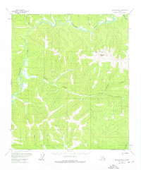
Editions of this 1958 Big Delta B-2 Map
3 editions found
Other maps of this area

1950 · Big Delta
USGS Topo · 1:250,000

1951 · Big Delta
USGS Topo · 1:250,000

1954 · Big Delta A-2
USGS Topo · 1:63,360

1955 · Big Delta A-3
USGS Topo · 1:63,360

1955 · Big Delta A-1
USGS Topo · 1:63,360

1955 · Big Delta A-2
USGS Topo · 1:63,360

1958 · Big Delta B-3
USGS Topo · 1:63,360

1958 · Big Delta C-3
USGS Topo · 1:63,360

1958 · Big Delta B-1
USGS Topo · 1:63,360

1958 · Big Delta C-2
USGS Topo · 1:63,360