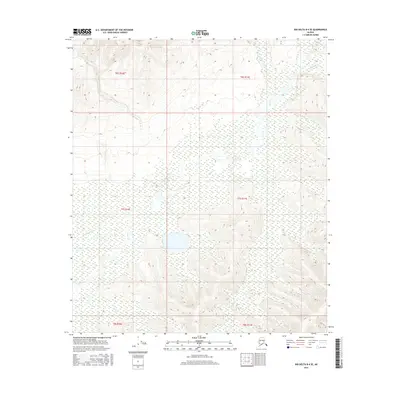
2016 Map of Big Delta B-4 SE
USGS Topo · Published 2016About this map
Shaw Creek defines the hydrological character of this sub-arctic interior landscape, carving a wide, braided path through the central valley. The 2016 survey illustrates the intricate drainage network of the Unorganized Borough, where smaller tributaries like Eagle Creek and Corda Creek descend from the upland ridges in the northeast. The terrain is characterized by a mix of wetlands and sharply defined elevation contours, particularly evident around Rapid Creek and Cottonwood Creek. This map captures a pristine wilderness area devoid of modern infrastructure, showing the natural state of the Tanana River valley's northern reaches. The land is organized by the Public Land Survey System, with township boundaries spanning from t6s r10e to t8s r11e, providing a precise grid for modern land management in a region defined more by its water than by its roads.
Find a feature on this map
12 named features on this map. Tap any name to fly to it.
Don’t see what you’re looking for? This feature index may not catch every label — zoom into the map to look around manually.
Map Details
Editions of this 2016 Big Delta B-4 SE Map
This is the sole edition of this map. No revisions or reprints were ever made.
Other maps of this area

1950 · Big Delta
USGS Topo · 1:250,000

1950 · Big Delta A-4
USGS Topo · 1:63,360

1950 · Big Delta B-4
USGS Topo · 1:63,360

1951 · Big Delta
USGS Topo · 1:250,000

1952 · Big Delta A-4
USGS Topo · 1:63,360

1953 · Big Delta B-4
USGS Topo · 1:63,360

1955 · Big Delta A-3
USGS Topo · 1:63,360

1958 · Big Delta B-3
USGS Topo · 1:63,360

1958 · Big Delta
USGS Topo · 1:250,000
1959 · Big Delta A-4
USGS Topo · 1:63,360