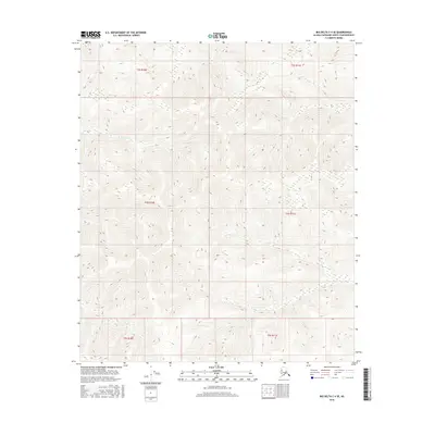
2016 Map of Big Delta C-4 SE
USGS Topo · Published 2016About this map
Deep Cr flows through the upper sections of this interior Alaskan landscape, which is defined by the rigid grid of the Public Land Survey System. The map spans several township and range boundaries, including T3s R10e, T4s R10e, and T5s R11e, illustrating how the federal government partitioned this remote territory. This 2016 survey captures a region devoid of modern infrastructure or permanent settlements, where the environment remains shaped by natural drainages rather than human development. The absence of roads or structures highlights the wilderness character of the Fairbanks North Star Borough during this era.
Find a feature on this map
7 named features on this map. Tap any name to fly to it.
Don’t see what you’re looking for? This feature index may not catch every label — zoom into the map to look around manually.
Map Details
Editions of this 2016 Big Delta C-4 SE Map
This is the sole edition of this map. No revisions or reprints were ever made.
Other maps of this area

1950 · Big Delta
USGS Topo · 1:250,000

1950 · Big Delta B-4
USGS Topo · 1:63,360

1951 · Big Delta
USGS Topo · 1:250,000

1953 · Big Delta B-4
USGS Topo · 1:63,360

1958 · Big Delta C-4
USGS Topo · 1:63,360

1958 · Big Delta B-3
USGS Topo · 1:63,360

1958 · Big Delta C-3
USGS Topo · 1:63,360

1958 · Big Delta
USGS Topo · 1:250,000
2016 · Big Delta C-4 SW
USGS Topo · 1:25,000
2016 · Big Delta C-3 NW
USGS Topo · 1:25,000