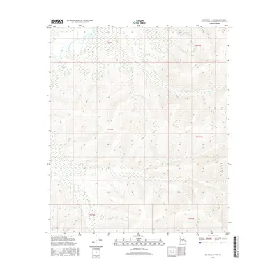
2016 Map of Big Delta C-4 SW
USGS Topo · Published 2016About this map
Salcha River winds through the northwestern corner of this interior Alaskan landscape, which is defined by significant elevation changes and a dense network of watercourses. The terrain is structured by the Public Land Survey System grids of t3s r9e, t4s r9e, and t5s r9e, alongside their eastern counterparts, reflecting the systematic mapping of the Fairbanks North Star Borough. High-elevation contours reveal a complex drainage system where Deep Cr and Flat Cr cut through the upland topography. This 2016 survey, produced by the U.S. Geological Survey in cooperation with the Alaska Dept. of Transportation and the BLM, captures a wilderness area largely devoid of permanent human infrastructure, focusing instead on the hydrography and elevation data essential for navigating this subarctic environment.
Find a feature on this map
9 named features on this map. Tap any name to fly to it.
Don’t see what you’re looking for? This feature index may not catch every label — zoom into the map to look around manually.
Map Details
Editions of this 2016 Big Delta C-4 SW Map
This is the sole edition of this map. No revisions or reprints were ever made.
Other maps of this area

1949 · Big Delta B-5
USGS Topo · 1:63,360

1950 · Big Delta
USGS Topo · 1:250,000

1950 · Big Delta B-4
USGS Topo · 1:63,360

1951 · Big Delta
USGS Topo · 1:250,000

1952 · Big Delta B-5
USGS Topo · 1:63,360

1953 · Big Delta B-4
USGS Topo · 1:63,360

1958 · Big Delta C-5
USGS Topo · 1:63,360

1958 · Big Delta C-4
USGS Topo · 1:63,360

1958 · Big Delta
USGS Topo · 1:250,000
2016 · Big Delta B-5 NE
USGS Topo · 1:25,000