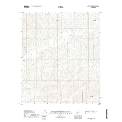
2021 Map of Big Delta C-5 SE
USGS Topo · Published 2021About this map
The Salcha River dominates this interior landscape as it meanders through the central and northern reaches of the quadrangle. This 2021 survey illustrates a complex hydrologic network defined by several key tributaries, including the extensive course of Twentyfive Mile Cr and the winding path of Flat Cr. The terrain is characterized by these distinct drainages, where the low-lying wetlands around the river contrast with the rising elevations of the surrounding ridges. South of the main river valley, Lenant Cr and Uncle Sam Cr drain the southern slopes, providing a detailed view of the natural water distribution in this portion of the Fairbanks North Star Borough. The absence of road infrastructure or named settlements emphasizes the wilderness character of the area, making this a focused study of the region's topography and pristine water systems.
Find a feature on this map
13 named features on this map. Tap any name to fly to it.
Don’t see what you’re looking for? This feature index may not catch every label — zoom into the map to look around manually.
Map Details
Editions of this 2021 Big Delta C-5 SE Map
This is the sole edition of this map. No revisions or reprints were ever made.
Other maps of this area

1949 · Big Delta B-5
USGS Topo · 1:63,360

1950 · Big Delta
USGS Topo · 1:250,000

1950 · Big Delta B-4
USGS Topo · 1:63,360

1951 · Big Delta
USGS Topo · 1:250,000

1952 · Big Delta B-5
USGS Topo · 1:63,360

1953 · Big Delta B-4
USGS Topo · 1:63,360

1958 · Big Delta C-5
USGS Topo · 1:63,360

1958 · Big Delta C-4
USGS Topo · 1:63,360

1958 · Big Delta
USGS Topo · 1:250,000
2016 · Big Delta C-5 NW
USGS Topo · 1:25,000