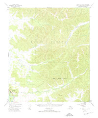
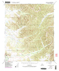
1949 Map of Big Delta C-6
USGS Topo · Published 1974About this map
The Tanana River and the foundational Richardson Highway anchor the southwest corner of this interior Alaskan landscape, providing the primary corridor for movement through the region. North and east of this transport artery, the land is dominated by a sprawling Military Reservation, defined by complex topography and a network of drainage systems. High points such as Vabm 2566 Seven and Vabm 1831 Canyon overlook a wilderness carved by Moose Creek, Globe Creek, and the Little Salcha River. The map reflects the post-war era of Alaskan development, where military land use and infrastructure projects, evidenced by a Gravel Pit near the highway, began to shape the territory's strategic and economic footprint. The survey's focus on precise elevation and waterway alignment captures the natural state of the Military Reservation Boundary before subsequent decades of northern expansion.
Find a feature on this map
12 named features on this map. Tap any name to fly to it.
Don’t see what you’re looking for? This feature index may not catch every label — zoom into the map to look around manually.
Map Details
Editions of this 1949 Big Delta C-6 Map
6 editions found
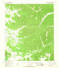
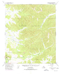
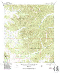
Other maps of this area

1949 · Fairbanks D-1
USGS Topo · 1:62,500

1949 · Big Delta B-5
USGS Topo · 1:63,360

1949 · Big Delta B-6
USGS Topo · 1:63,360

1949 · Fairbanks C-1
USGS Topo · 1:63,360

1949 · Big Delta C-6
USGS Topo · 1:63,360

1950 · Fairbanks
USGS Topo · 1:250,000

1950 · Big Delta
USGS Topo · 1:250,000

1950 · Big Delta D-6
USGS Topo · 1:63,360

1950 · Fairbanks C-1
USGS Topo · 1:63,360

1950 · Fairbanks B-1
USGS Topo · 1:63,360