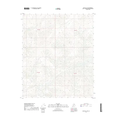
2018 Map of Big Delta D-1 NW
USGS Topo · Published 2018About this map
Cottonwood Creek flows through the northern reaches of this interior Alaskan landscape, which remains largely defined by its natural drainage patterns and high-latitude vegetation. The area is marked by a complex system of waterways, including Lost Creek and East Creek, which carve through the terrain within the boundaries of t2n r16e, t2n r17e, t1n r16e, and t1n r17e. This 2018 survey reveals a territory primarily shaped by its hydrology, where seasonal wetlands and creek beds dictate the character of the land north of the Tanana River region. The absence of roads or permanent structures on this sheet underscores the isolation and undeveloped nature of the Fairbanks North Star Borough at this specific moment in time.
Find a feature on this map
7 named features on this map. Tap any name to fly to it.
Don’t see what you’re looking for? This feature index may not catch every label — zoom into the map to look around manually.
Map Details
Editions of this 2018 Big Delta D-1 NW Map
This is the sole edition of this map. No revisions or reprints were ever made.
Other maps of this area

1950 · Big Delta
USGS Topo · 1:250,000

1951 · Big Delta
USGS Topo · 1:250,000

1951 · Circle
USGS Topo · 1:250,000

1955 · Circle A-2
USGS Topo · 1:63,360

1955 · Circle A-1
USGS Topo · 1:63,360

1955 · Circle
USGS Topo · 1:250,000

1958 · Big Delta D-2
USGS Topo · 1:63,360

1958 · Big Delta D-1
USGS Topo · 1:63,360

1958 · Big Delta
USGS Topo · 1:250,000

1964 · Circle
USGS Topo · 1:250,000