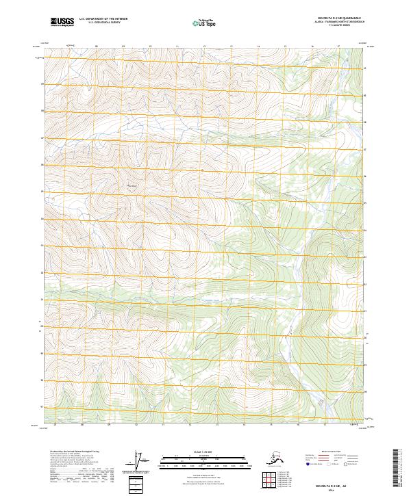
2024 Map of Big Delta D-2 NE
USGS Topo · Published 2024About this map
West Point rises as a prominent landmark in this interior Alaskan landscape, which is defined by the drainage patterns of the Salcha River and Boulder Creek. The terrain is characterized by steep elevation changes and intricate ridge systems, which are depicted through high-resolution contour data from the National Elevation Dataset. This particular section of the Big Delta region illustrates the natural waterway network of the Fairbanks North Star Borough, where Boulder Creek flows westward through a series of deep valleys. The map provides a clear look at the Public Land Survey System grid across T2N R15E and surrounding townships, showcasing the vast, undeveloped character of the Alaskan interior as it remains largely untouched by major transportation infrastructure or permanent settlements.
Find a feature on this map
7 named features on this map. Tap any name to fly to it.
Don’t see what you’re looking for? This feature index may not catch every label — zoom into the map to look around manually.
Map Details
Editions of this 2024 Big Delta D-2 NE Map
This is the sole edition of this map. No revisions or reprints were ever made.
Other maps of this area

1950 · Big Delta
USGS Topo · 1:250,000

1951 · Big Delta
USGS Topo · 1:250,000

1951 · Circle
USGS Topo · 1:250,000

1955 · Circle A-2
USGS Topo · 1:63,360

1955 · Circle A-1
USGS Topo · 1:63,360

1955 · Circle
USGS Topo · 1:250,000

1958 · Big Delta D-2
USGS Topo · 1:63,360

1958 · Big Delta D-1
USGS Topo · 1:63,360

1958 · Big Delta
USGS Topo · 1:250,000

1964 · Circle
USGS Topo · 1:250,000