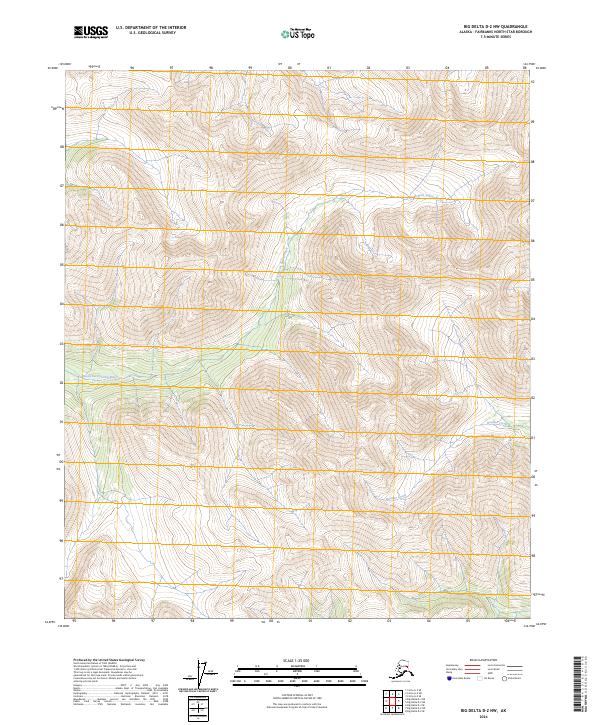
2024 Map of Big Delta D-2 NW
USGS Topo · Published 2024About this map
North Fork Salcha River winds through the interior Alaskan landscape in this survey of the Fairbanks North Star Borough. The terrain is defined by the drainage systems of the river and Boulder Creek, which carve through a network of steep ridgelines. The map document details the precise Public Land Survey System grid, including townships T2n R14e and T1n R14e, showing how the land is administratively organized even in this undeveloped portion of the Tanana Valley watershed. This 2024 data highlights the intricate hydrography of the subarctic environment, where small tributaries feed into the larger Salcha system, a critical area for regional ecology and seasonal resource management. The lack of named roads or structures emphasizes the wilderness character of this specific quadrangle during the early twenty-first century.
Find a feature on this map
7 named features on this map. Tap any name to fly to it.
Don’t see what you’re looking for? This feature index may not catch every label — zoom into the map to look around manually.
Map Details
Editions of this 2024 Big Delta D-2 NW Map
This is the sole edition of this map. No revisions or reprints were ever made.
Other maps of this area

1950 · Big Delta
USGS Topo · 1:250,000

1951 · Big Delta
USGS Topo · 1:250,000

1951 · Circle
USGS Topo · 1:250,000

1955 · Circle A-2
USGS Topo · 1:63,360

1955 · Circle A-3
USGS Topo · 1:63,360

1955 · Circle
USGS Topo · 1:250,000

1958 · Big Delta D-3
USGS Topo · 1:63,360

1958 · Big Delta D-2
USGS Topo · 1:63,360

1958 · Big Delta
USGS Topo · 1:250,000

1964 · Circle
USGS Topo · 1:250,000