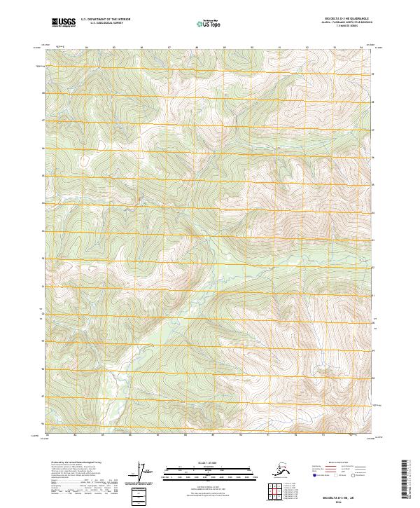
2024 Map of Big Delta D-3 NE
USGS Topo · Published 2024About this map
North Fork Salcha River winds through this interior Alaskan wilderness, carving a valley between prominent ridges in the Fairbanks North Star Borough. The map depicts a rugged, undeveloped landscape defined by its complex drainage systems and significant elevation changes. Tributaries like Salmonfoot Creek and Mascot Creek feed into the primary river system, illustrating the natural watershed patterns of the region. The Public Land Survey System grid, including boundaries for t2n r12e and t1n r13e, provides the only human-imposed structure on this otherwise wild terrain, which lacks established roads or settlements. This survey reflects the pristine state of the Alaskan interior in the early 21st century, focusing on the topography and hydrography of the high-country environment.
Find a feature on this map
7 named features on this map. Tap any name to fly to it.
Don’t see what you’re looking for? This feature index may not catch every label — zoom into the map to look around manually.
Map Details
Editions of this 2024 Big Delta D-3 NE Map
This is the sole edition of this map. No revisions or reprints were ever made.
Other maps of this area

1950 · Big Delta
USGS Topo · 1:250,000

1951 · Big Delta
USGS Topo · 1:250,000

1951 · Circle
USGS Topo · 1:250,000

1955 · Circle A-2
USGS Topo · 1:63,360

1955 · Circle A-3
USGS Topo · 1:63,360

1955 · Circle
USGS Topo · 1:250,000

1958 · Big Delta D-3
USGS Topo · 1:63,360

1958 · Big Delta D-2
USGS Topo · 1:63,360

1958 · Big Delta
USGS Topo · 1:250,000

1964 · Circle
USGS Topo · 1:250,000