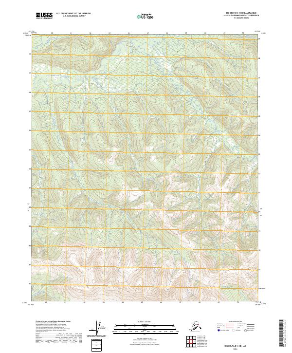
2024 Map of Big Delta D-4 NE
USGS Topo · Published 2024About this map
The Middle Fork Chena River meanders across the northern portion of this terrain, anchoring a drainage network that includes Ottertail Creek and Sullivan Creek. This 2024 survey of the Big Delta area reflects a landscape defined entirely by its hydrography and township boundaries, with no roads or man-made structures recorded. The southern reaches are dominated by the elevation changes surrounding Blackshell Creek and Lohi Creek, while Anderson Creek cuts through the southwestern corner. These drainages provide the primary landmarks for navigating the interior, where the Teucher Creek valley further divides the eastern slopes. The map serves as a contemporary record of this unpopulated region, documenting the exact courses of these water bodies and their relationship to the established survey lines of T2N and T1N.
Find a feature on this map
11 named features on this map. Tap any name to fly to it.
Don’t see what you’re looking for? This feature index may not catch every label — zoom into the map to look around manually.
Map Details
Editions of this 2024 Big Delta D-4 NE Map
This is the sole edition of this map. No revisions or reprints were ever made.
Other maps of this area

1950 · Big Delta
USGS Topo · 1:250,000

1951 · Big Delta
USGS Topo · 1:250,000

1951 · Circle
USGS Topo · 1:250,000

1952 · Circle A-4
USGS Topo · 1:63,360

1955 · Circle A-3
USGS Topo · 1:63,360

1955 · Circle
USGS Topo · 1:250,000

1958 · Big Delta D-4
USGS Topo · 1:63,360

1958 · Big Delta D-3
USGS Topo · 1:63,360

1958 · Big Delta
USGS Topo · 1:250,000

1964 · Circle
USGS Topo · 1:250,000