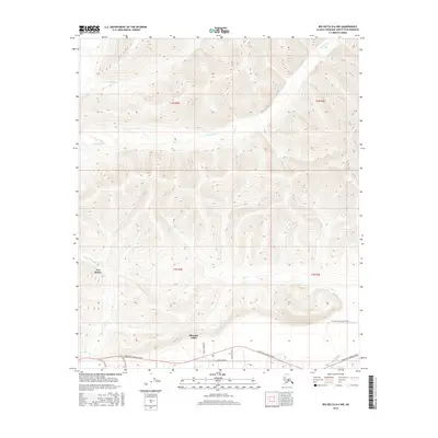
2016 Map of Big Delta D-6 NW
USGS Topo · Published 2016About this map
Pleasant Valley and the community of Two Rivers anchor this 2016 survey, representing key residential pockets in the Tanana Valley. The southern portion of the sheet is dominated by the corridor of Chena Hot Springs Road, which provides the primary access route through this sub-arctic terrain. Local residential infrastructure is visible through a network of named local roads like Burgundy Street, Zuendel Street, and Pheasant Farm Rd, reflecting the modern expansion of these rural settlements.
Find a feature on this map
17 named features on this map. Tap any name to fly to it.
Don’t see what you’re looking for? This feature index may not catch every label — zoom into the map to look around manually.
Map Details
Editions of this 2016 Big Delta D-6 NW Map
This is the sole edition of this map. No revisions or reprints were ever made.
Other maps of this area

1945 · Livengood
USGS Topo · 1:250,000

1949 · Fairbanks D-1
USGS Topo · 1:62,500

1950 · Fairbanks
USGS Topo · 1:250,000

1950 · Big Delta
USGS Topo · 1:250,000

1950 · Big Delta D-6
USGS Topo · 1:63,360

1951 · Big Delta
USGS Topo · 1:250,000

1951 · Fairbanks
USGS Topo · 1:250,000

1951 · Livengood
USGS Topo · 1:250,000

1951 · Circle
USGS Topo · 1:250,000

1952 · Big Delta D-6
USGS Topo · 1:63,360