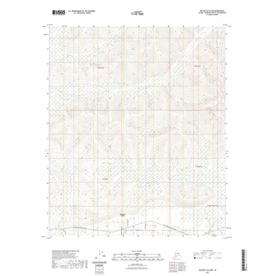
2021 Map of Big Delta D-6 NW
USGS Topo · Published 2021About this map
Pleasant Valley serves as the primary hub of development in this Interior Alaska landscape, situated along the corridor of Chena Hot Springs Road. The settlement pattern is defined by a modest grid of residential streets south of the highway, including Burgundy Street, Anders Avenue, and Zuendel Street, while Pleasant Valley Rd and Pheasant Farm Rd provide access to the immediate surroundings.
Find a feature on this map
17 named features on this map. Tap any name to fly to it.
Don’t see what you’re looking for? This feature index may not catch every label — zoom into the map to look around manually.
Map Details
Editions of this 2021 Big Delta D-6 NW Map
This is the sole edition of this map. No revisions or reprints were ever made.
Other maps of this area

1945 · Livengood
USGS Topo · 1:250,000

1949 · Fairbanks D-1
USGS Topo · 1:62,500

1950 · Fairbanks
USGS Topo · 1:250,000

1950 · Big Delta
USGS Topo · 1:250,000

1950 · Big Delta D-6
USGS Topo · 1:63,360

1951 · Big Delta
USGS Topo · 1:250,000

1951 · Fairbanks
USGS Topo · 1:250,000

1951 · Livengood
USGS Topo · 1:250,000

1951 · Circle
USGS Topo · 1:250,000

1952 · Big Delta D-6
USGS Topo · 1:63,360