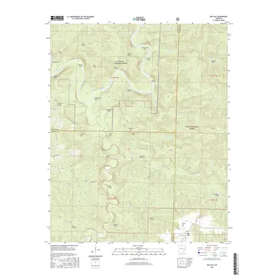
2017 Map of Big Flat
USGS Topo · Published 2017About this map
Big Flat anchors the southeastern corner of this Ozark plateau landscape, where the town’s post office and the Big Flat Cem serve as long-standing markers of local community life near the tri-county intersection of Marion, Searcy, and Baxter. To the north, the terrain is defined by the winding course of the Buffalo National River, featuring distinct water landmarks such as Fishtrap Shoal and Leatherwood Shoal.
Find a feature on this map
68 named features on this map. Tap any name to fly to it.
Don’t see what you’re looking for? This feature index may not catch every label — zoom into the map to look around manually.
Map Details
Editions of this 2017 Big Flat Map
This is the sole edition of this map. No revisions or reprints were ever made.
Other maps of this area

1890 · Mountain Home
USGS Topo · 1:125,000

1891 · Mountain Home
USGS Topo · 1:125,000

1892 · Marshall
USGS Topo · 1:125,000

1892 · Mountain View
USGS Topo · 1:125,000

1893 · Yellville
USGS Topo · 1:125,000

1894 · Mountain View
USGS Topo · 1:125,000

1894 · Mountain Home
USGS Topo · 1:125,000

1894 · Marshall
USGS Topo · 1:125,000

1901 · Marshall
USGS Topo · 1:125,000

1903 · Yellville
USGS Topo · 1:125,000