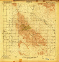
1918 Map of Big Hatchet Peak
USGS Topo · Published 1918About this map
Hatchet Mountains and the surrounding high desert of the Playas Valley are documented here during a period of ranching expansion just before the end of the First World War. This territory, surveyed by C. C. Gardner and R. B. Steele for the U. S. Geological Survey in cooperation with the War Department, shows a landscape defined by water scarcity and livestock. The map traces the critical network of springs and man-made water sources, such as Whitewater Wells, Las Cienegas Spring, and the Mongue Tank, which sustained the numerous family-named cattle operations throughout the hills. The Boundary Line between New Mexico and Chihuahua, Mexico forms the eastern and southern edges of the survey, highlighting the remote international frontier character of the region. Transportation is limited to rugged tracks like the Hueco and Alamo Road, connecting isolated outposts like the Old Hatchet Ranch and Dallas Hatchet Ranch.
Find a feature on this map
36 named features on this map. Tap any name to fly to it.
Don’t see what you’re looking for? This feature index may not catch every label — zoom into the map to look around manually.
Map Details
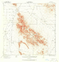
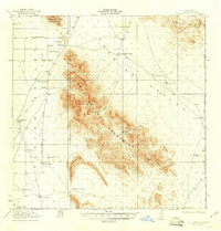
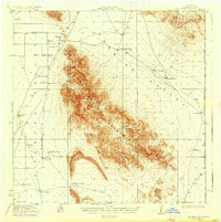
Editions of this 1918 Big Hatchet Peak Map
5 editions found
Other maps of this area

1917 · Antelope Wells
USGS Topo · 1:62,500

1918 · Big Hatchet Peak
USGS Topo · 1:62,500

1918 · Hachita
USGS Topo · 1:62,500

1918 · Dog Mountains
USGS Topo · 1:62,500

1918 · Walnut Wells
USGS Topo · 1:62,500

1918 · Victorio
USGS Topo · 1:62,500

1918 · Playas
USGS Topo · 1:62,500

1919 · Playas
USGS Topo · 1:62,500

1919 · Antelope Wells
USGS Topo · 1:62,500

1923 · Walnut Wells
USGS Topo · 1:62,500