
1918 Map of Big Hatchet Peak
USGS Topo · Published 1918About this map
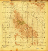
Big Hatchet Mountains dominate this high-desert landscape in the years following the turn of the century, rising sharply above the surrounding desert floor. The map documents a sparse but vital network of water sources essential for survival in this arid territory, including Las Cienegas Spring, Whitewater Wells, and Sheridan Wells. Along the northern edge of the range, the Hachita and Hueco Road serves as a primary transit corridor, connecting the remote outposts of the southwest New Mexico borderlands.
Find a feature on this map
30 named features on this map. Tap any name to fly to it.
Don’t see what you’re looking for? This feature index may not catch every label — zoom into the map to look around manually.
Map Details
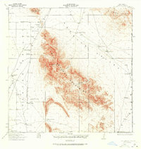
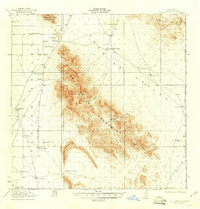
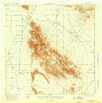
Editions of this 1918 Big Hatchet Peak Map
5 editions found
Other maps of this area

1917 · Antelope Wells
USGS Topo · 1:62,500

1918 · Hachita
USGS Topo · 1:62,500

1918 · Dog Mountains
USGS Topo · 1:62,500

1918 · Walnut Wells
USGS Topo · 1:62,500

1918 · Victorio
USGS Topo · 1:62,500

1918 · Playas
USGS Topo · 1:62,500

1919 · Playas
USGS Topo · 1:62,500

1919 · Antelope Wells
USGS Topo · 1:62,500

1923 · Walnut Wells
USGS Topo · 1:62,500

1955 · Douglas
USGS Topo · 1:250,000