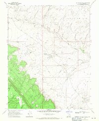
1968 Map of Big Hollow Wash
USGS Topo · Published 1971About this map
Straight Cliffs and the rising plateau of Fiftymile Mountain dominate this late-1960s landscape, providing a stark topographical boundary between high benches and deep drainage systems. The map illustrates a remote grazing and water-management network, where named features such as Orins Well, Liston Seep, and Big Hollow Spring highlight the critical importance of reliable water sources in this arid environment.
Find a feature on this map
24 named features on this map. Tap any name to fly to it.
Don’t see what you’re looking for? This feature index may not catch every label — zoom into the map to look around manually.
Map Details
Editions of this 1968 Big Hollow Wash Map
2 editions found
Other maps of this area

1886 · Escalante
USGS Topo · 1:250,000

1922 · Rees Canyon
USGS Topo · 1:63,360

1953 · Circle Cliffs 4 SW
USGS Topo · 1:24,000

1953 · Moody Creek
USGS Topo · 1:62,500

1956 · Escalante
USGS Topo · 1:250,000

1960 · Escalante
USGS Topo · 1:250,000

1964 · Sunset Flat
USGS Topo · 1:24,000

1968 · East of The Navajo
USGS Topo · 1:24,000
1968 · Big Hollow Wash
USGS Topo · 1:24,000
1968 · Basin Canyon
USGS Topo · 1:24,000