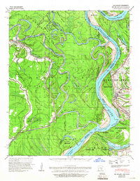
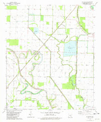
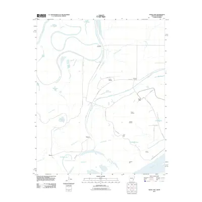
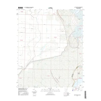
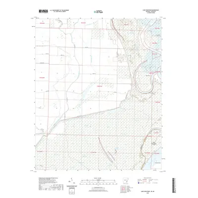
1939 Map of Big Island
USGS Topo · Published 1966About this map
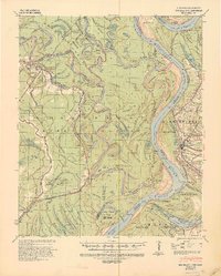
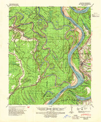
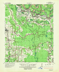
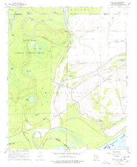
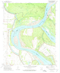
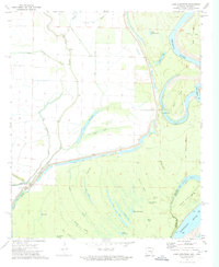
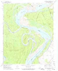
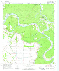
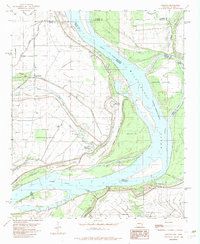
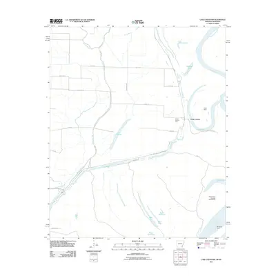
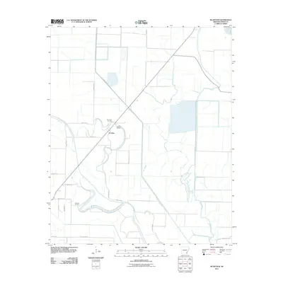
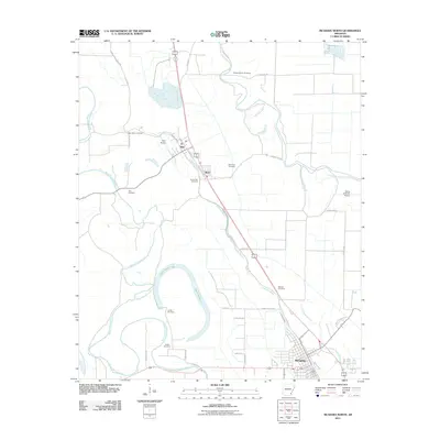
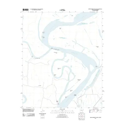
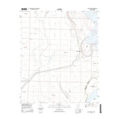
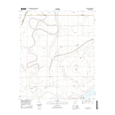
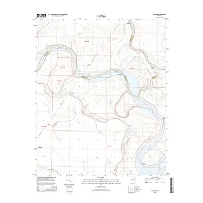
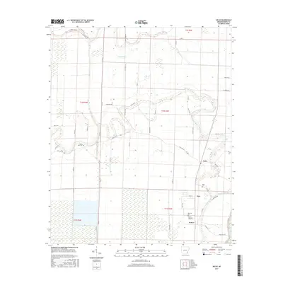
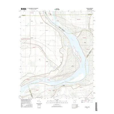
The Arkansas River, White River, and Mississippi River converge in a complex hydraulic network defined by shifting bends and historical engineering. This 1939 survey, revised from Corps of Engineers data, captures the volatile nature of the delta before modern channel stabilization was complete. Visible features like the Napoleon Cut-Off 1863 and numerous oxbows such as Lake Concordia and Beulah Lake illustrate the river's restless history. On the Mississippi side, the town of Rosedale serves as a primary hub, while the Arkansas side is dominated by the Migratory Waterfowl Refuge and Big Island. Small settlements like Yancopin and Benzal sit along the Missouri Pacific railroad, which provided critical transit through this flood-prone landscape of cypress sloughs and bayous.
Find a feature on this map
47 named features on this map. Tap any name to fly to it.
Don’t see what you’re looking for? This feature index may not catch every label — zoom into the map to look around manually.
Map Details
Editions of this 1939 Big Island Map
3 editions found
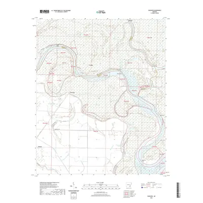
Historical Maps of Rosedale Through Time
54 maps found
1935 Red Fork
Desha County, AR
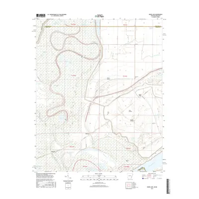
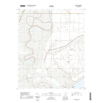
1939 Big Island
Desha County, AR
1967 Snow Lake
Desha County, AR

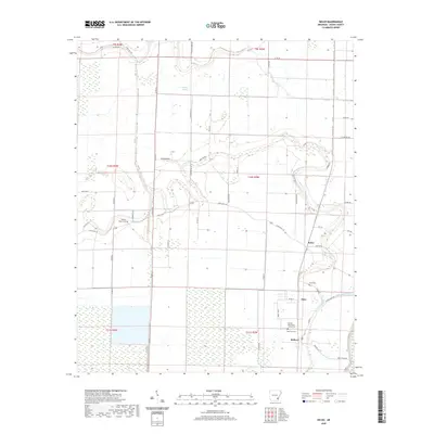
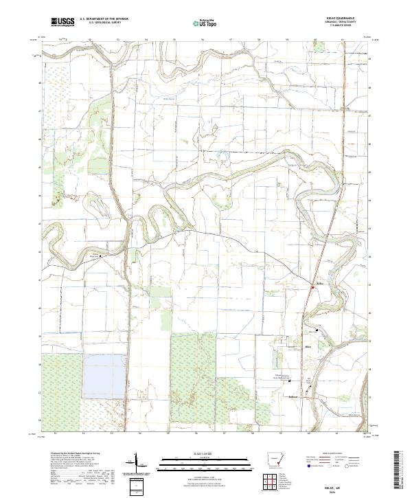
1969 Kelso
Desha County, AR
1972 Catfish Point
Desha County, AR
1972 Lake Cheatham
Desha County, AR
1972 Montgomery Island
Desha County, AR
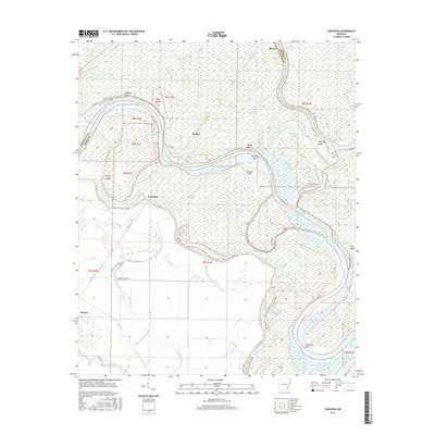
1972 Yancopin
Desha County, AR
1975 Mc Gehee NE
Desha County, AR
1975 Mc Gehee NW
Desha County, AR
1975 Mc Gehee SE
Desha County, AR
1981 Mc Arthur
Desha County, AR

1981 Mc Gehee North
Desha County, AR
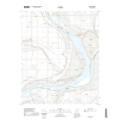
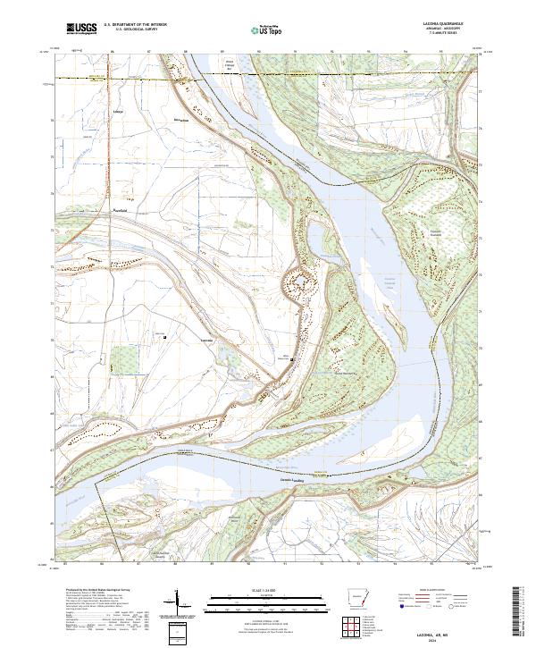
1982 Laconia
Desha County, AR
2011 Kelso
Desha County, AR
2011 Laconia
Desha County, AR
2011 Lake Cheatham
Desha County, AR
2011 McArthur
Desha County, AR
2011 McGehee North
Desha County, AR
2011 Montgomery Island
Desha County, AR
2011 Snow Lake
Desha County, AR
2011 Yancopin
Desha County, AR
2014 Kelso
Desha County, AR
2014 Laconia
Desha County, AR
2014 Lake Cheatham
Desha County, AR
2014 McArthur
Desha County, AR
2014 McGehee North
Desha County, AR
2014 Montgomery Island
Desha County, AR
2014 Snow Lake
Desha County, AR
2014 Yancopin
Desha County, AR
2017 Kelso
Desha County, AR
2017 Laconia
Desha County, AR
2017 Lake Cheatham
Desha County, AR
2017 McArthur
Desha County, AR
2017 McGehee North
Desha County, AR
2017 Montgomery Island
Desha County, AR
2017 Snow Lake
Desha County, AR
2017 Yancopin
Desha County, AR
2020 Kelso
Desha County, AR
2020 Laconia
Desha County, AR
2020 Lake Cheatham
Desha County, AR
2020 McArthur
Desha County, AR
2020 McGehee North
Desha County, AR
2020 Montgomery Island
Desha County, AR
2020 Snow Lake
Desha County, AR
2020 Yancopin
Desha County, AR
2024 Kelso
Desha County, AR
2024 Laconia
Desha County, AR
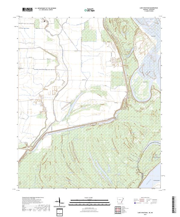
2024 Lake Cheatham
Desha County, AR
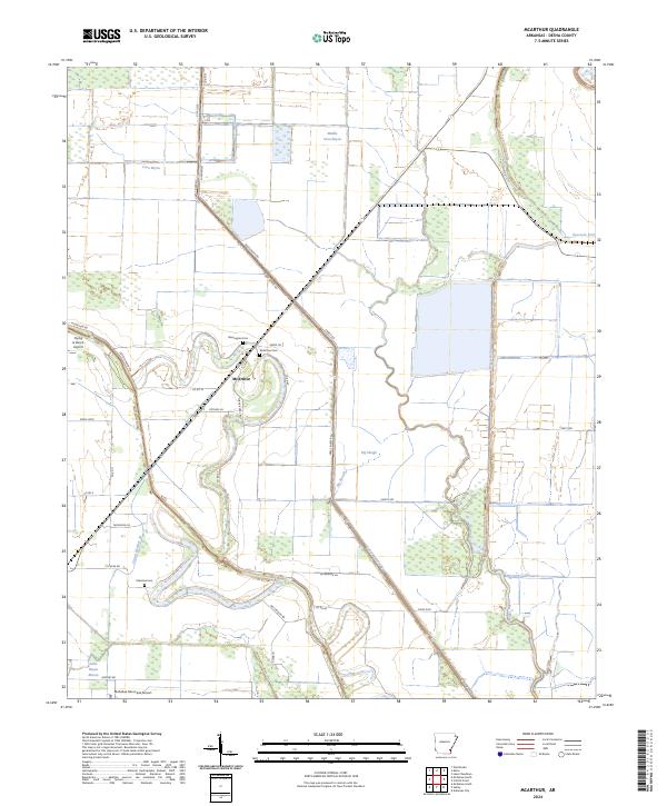
2024 McArthur
Desha County, AR
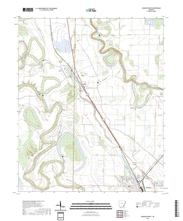
2024 McGehee North
Desha County, AR
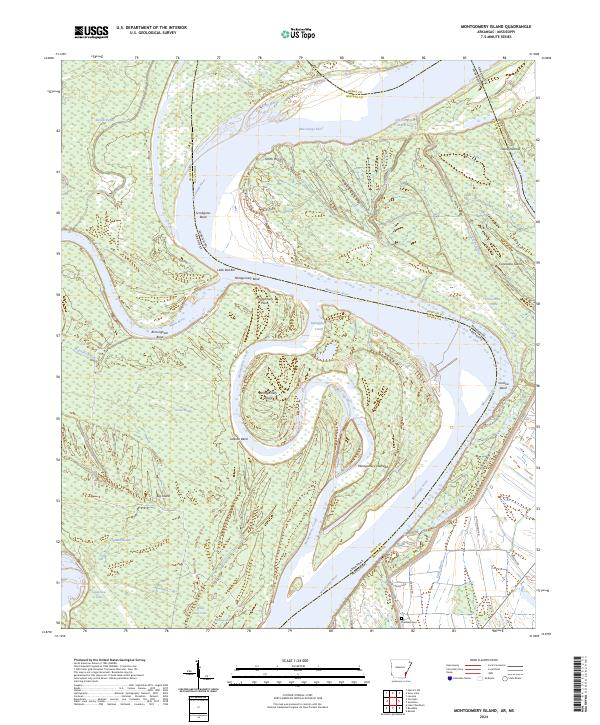
2024 Montgomery Island
Desha County, AR
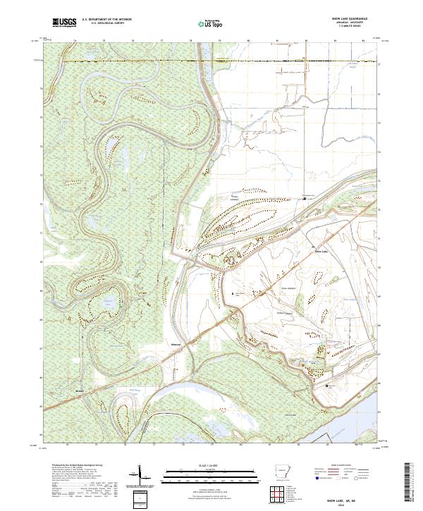
2024 Snow Lake
Desha County, AR
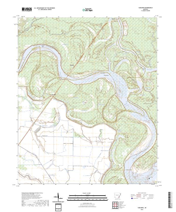
2024 Yancopin
Desha County, AR