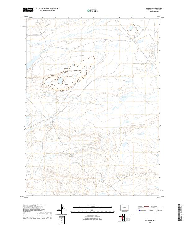
2021 Map of Big Judson
USGS Topo · Published 2021About this map
Big Judson sits at the heart of this Albany County landscape, where the high plains are defined by an intricate network of water management and natural drainage. This 2021 survey illustrates how early twentieth-century irrigation systems like King Ditch Number 1 and King Ditch Number 2 continue to shape the land alongside native waterways such as Dutton Cr and Cooper Cr. These ditches represent the historical efforts to bring agricultural stability to the region, diverting water across the township boundaries of T19N and T18N. The presence of the Cavender Reservoir and the Homer Ditch further emphasizes a landscape engineered for water storage and transport in an arid environment. For researchers and local historians, these features provide a clear record of how hydraulic infrastructure has dictated the placement of settlements and the division of land in this part of Wyoming.
Find a feature on this map
12 named features on this map. Tap any name to fly to it.
Don’t see what you’re looking for? This feature index may not catch every label — zoom into the map to look around manually.
Map Details
Editions of this 2021 Big Judson Map
This is the sole edition of this map. No revisions or reprints were ever made.
Other maps of this area

1895 · Laramie
USGS Topo · 1:125,000

1902 · Laramie
USGS Topo · 1:125,000

1905 · Laramie
USGS Topo · 1:125,000

1906 · Medicine Bow
USGS Topo · 1:125,000

1906 · Laramie
USGS Topo · 1:125,000

1908 · Laramie
USGS Topo · 1:125,000

1908 · Medicine Bow
USGS Topo · 1:125,000

1954 · Cheyenne
USGS Topo · 1:250,000

1954 · Rawlins
USGS Topo · 1:250,000

1955 · Big Judson
USGS Topo · 1:24,000