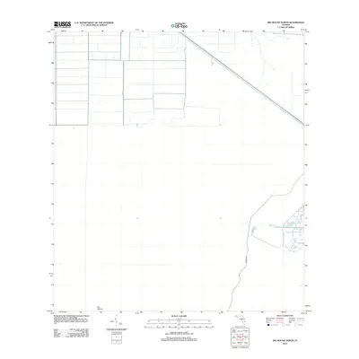
2012 Map of Big Mound North
USGS Topo · Published 2012About this map
Big Mound stands as the primary landmark in this sparsely populated interior region of Florida. Located in Palm Beach County during the early 21st century, the landscape is defined by its rectilinear drainage and canal systems, which serve as an engineering blueprint for the area's agricultural or water management needs. Transportation is limited to a few arterial routes, most notably the diagonal corridor of State Road 710 and the north-south alignment of N Grade Rd. The map illustrates the structured, modern grid pattern of development common in the Florida Everglades' periphery, where land use is strictly partitioned by geometric surveying rather than natural topography.
Find a feature on this map
3 named features on this map. Tap any name to fly to it.
Don’t see what you’re looking for? This feature index may not catch every label — zoom into the map to look around manually.
Map Details
Editions of this 2012 Big Mound North Map
This is the sole edition of this map. No revisions or reprints were ever made.
Other maps of this area

1953 · Okeechobee 4 SE
USGS Topo · 1:24,000

1953 · Indian Town SE
USGS Topo · 1:24,000

1953 · Indian Town
USGS Topo · 1:24,000

1956 · West Palm Beach
USGS Topo · 1:250,000

1956 · Fort Pierce
USGS Topo · 1:250,000

1957 · West Palm Beach
USGS Topo · 1:250,000

1958 · Fort Pierce
USGS Topo · 1:250,000

1958 · West Palm Beach
USGS Topo · 1:250,000

1959 · Fort Pierce
USGS Topo · 1:250,000

1970 · West Palm Beach 2 SW
USGS Topo · 1:24,000