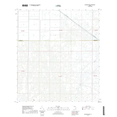
2018 Map of Big Mound North
USGS Topo · Published 2018About this map
The boundary between Martin Co and Palm Beach Co bisects a landscape defined by extensive wetlands and conservation areas in south Florida. This 2018 survey emphasizes the transition from managed infrastructure to the interior wilderness, centered on the notable topographic feature of Big Mound. The map reveals the precise section lines and township boundaries, such as t40s r39e, which manage the land use in this environmentally sensitive region. Transportation through the area is restricted to a few primary corridors, most notably SW Warfield Blvd, which cuts diagonally across the northern sections, and the north-south alignment of N Grade Rd, providing access into the heart of the marshlands.
Find a feature on this map
10 named features on this map. Tap any name to fly to it.
Don’t see what you’re looking for? This feature index may not catch every label — zoom into the map to look around manually.
Map Details
Editions of this 2018 Big Mound North Map
This is the sole edition of this map. No revisions or reprints were ever made.
Other maps of this area

1953 · Okeechobee 4 SE
USGS Topo · 1:24,000

1953 · Indian Town SE
USGS Topo · 1:24,000

1953 · Indian Town
USGS Topo · 1:24,000

1956 · West Palm Beach
USGS Topo · 1:250,000

1956 · Fort Pierce
USGS Topo · 1:250,000

1957 · West Palm Beach
USGS Topo · 1:250,000

1958 · Fort Pierce
USGS Topo · 1:250,000

1958 · West Palm Beach
USGS Topo · 1:250,000

1959 · Fort Pierce
USGS Topo · 1:250,000

1970 · West Palm Beach 2 SW
USGS Topo · 1:24,000