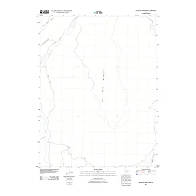
2011 Map of Big Pack Mountain
USGS Topo · Published 2011About this map
Big Pack Mountain dominates this portion of the Uinta Basin, a landscape defined by dramatic relief and a network of deep drainage systems. The rugged topography is etched by Peter Post Canyon and Alger Draw to the west, while the eastern reaches are marked by Agency Draw. These canyons and draws provide a detailed view of the natural pathways and landforms that have historically dictated movement through this high-altitude region of Utah.
Find a feature on this map
10 named features on this map. Tap any name to fly to it.
Don’t see what you’re looking for? This feature index may not catch every label — zoom into the map to look around manually.
Map Details
Editions of this 2011 Big Pack Mountain Map
This is the sole edition of this map. No revisions or reprints were ever made.
Other maps of this area

1885 · East Tavaputs
USGS Topo · 1:250,000

1953 · Nutters Hole
USGS Topo · 1:62,500

1953 · Firewater Canyon
USGS Topo · 1:62,500

1956 · Grand Junction
USGS Topo · 1:250,000

1959 · Grand Junction
USGS Topo · 1:250,000

1960 · Grand Junction
USGS Topo · 1:250,000

1962 · Grand Junction
USGS Topo · 1:250,000

1964 · Grand Junction
USGS Topo · 1:250,000

1965 · Grand Junction
USGS Topo · 1:250,000
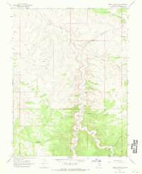
1966 · Agency Draw NE
USGS Topo · 1:24,000