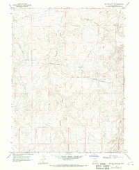
1968 Map of Big Pack Mtn. NE
USGS Topo · Published 1970About this map
Industrial expansion into the high desert of Uintah County defines this 1960s landscape. The Bitter Creek Gas Field occupies the northeastern quadrant, revealing a complex network of energy infrastructure including numerous Gas Wells, a Drill Hole, and a Pumping Station. These facilities are connected by an intricate system of Pipelines and Aboveground Pipelines that cut across the natural drainage patterns of Cottonwood Wash and Sand Wash.
Find a feature on this map
14 named features on this map. Tap any name to fly to it.
Don’t see what you’re looking for? This feature index may not catch every label — zoom into the map to look around manually.
Map Details
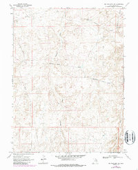
Editions of this 1968 Big Pack Mtn. NE Map
2 editions found
Other maps of this area

1885 · East Tavaputs
USGS Topo · 1:250,000

1885 · Ashley
USGS Topo · 1:250,000

1907 · Jensen
USGS Topo · 1:125,000

1910 · Jensen
USGS Topo · 1:125,000

1917 · Vernal
USGS Topo · 1:125,000

1954 · Vernal
USGS Topo · 1:250,000

1956 · Grand Junction
USGS Topo · 1:250,000

1958 · Vernal
USGS Topo · 1:250,000

1959 · Grand Junction
USGS Topo · 1:250,000

1960 · Vernal
USGS Topo · 1:250,000