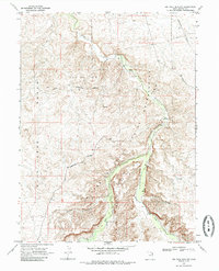
1968 Map of Big Pack Mtn. NW
USGS Topo · Published 1985About this map
Uintah and Ouray Indian Reservation lands dominate this mid-century landscape, where the rugged terrain of Wild Horse Bench meets the deep cuts of the Willow Creek drainage. The map documents an era of increasing industrial infrastructure within the high desert, specifically focused on the Island Gas Field. Numerous sites for Gas Wells and a complex network of pipelines—including several segments of aboveground pipeline—crisscross the plateaus and canyons. Key transit points along the water include Squaw Crossing and the Black Bridge, providing essential access through this section of Big Pack Mountain. For those studying the evolution of land use in Uintah County, these 1960s surveys reveal the precise locations of exploration efforts such as the Drill Hole and various prospects set against family-named landmarks like Jim Little Canyon and Brown Canyon.
Find a feature on this map
18 named features on this map. Tap any name to fly to it.
Don’t see what you’re looking for? This feature index may not catch every label — zoom into the map to look around manually.
Map Details
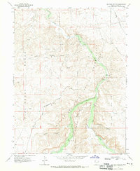
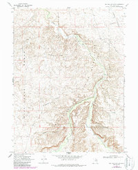
Editions of this 1968 Big Pack Mtn. NW Map
Other maps of this area

1885 · East Tavaputs
USGS Topo · 1:250,000

1885 · Ashley
USGS Topo · 1:250,000

1917 · Vernal
USGS Topo · 1:125,000

1953 · Nutters Hole
USGS Topo · 1:62,500

1954 · Vernal
USGS Topo · 1:250,000

1956 · Grand Junction
USGS Topo · 1:250,000

1958 · Vernal
USGS Topo · 1:250,000

1959 · Grand Junction
USGS Topo · 1:250,000

1960 · Vernal
USGS Topo · 1:250,000

1960 · Grand Junction
USGS Topo · 1:250,000