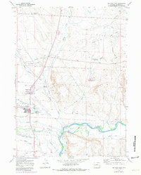
1970 Map of Big Piney East
USGS Topo · Published 1980About this map
The Green River flows through the southern portion of this landscape, supported by a complex network of man-made irrigation features including the Cottonwood Canal, Sage Ditch, and Wardell Ditch. The neighboring towns of Big Piney and Marbleton serve as the primary hubs for this region of Sublette County, with the Big Piney Municipal Airport and nearby Fairground indicating the area's role as a civic center.
Find a feature on this map
51 named features on this map. Tap any name to fly to it.
Don’t see what you’re looking for? This feature index may not catch every label — zoom into the map to look around manually.
Map Details
Editions of this 1970 Big Piney East Map
2 editions found
Other maps of this area

1939 · Big Piney
USGS Topo · 1:125,000

1942 · Big Piney
USGS Topo · 1:125,000

1955 · Preston
USGS Topo · 1:250,000

1955 · Lander
USGS Topo · 1:250,000

1958 · Lander
USGS Topo · 1:250,000

1958 · Preston
USGS Topo · 1:250,000

1961 · Lander
USGS Topo · 1:250,000

1962 · Preston
USGS Topo · 1:250,000

1964 · Ross Butte
USGS Topo · 1:24,000

1964 · Mesa Spring
USGS Topo · 1:24,000