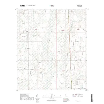
2018 Map of Big Point
USGS Topo · Published 2018About this map
The Escatawpa River meanders through a dense network of wetlands and bluffs along the border between Alabama and Mississippi. This terrain is defined by its complex hydrology, featuring numerous named oxbows and swampy reaches such as Black Creek Swamp, Petes Lake, and the curiously named Fiddlers Sail. High ground is marked by prominent landforms including Cowards Bluff, Sikes Bluff, and Miles Bluff, which overlook the river valley.
Find a feature on this map
111 named features on this map. Tap any name to fly to it.
Don’t see what you’re looking for? This feature index may not catch every label — zoom into the map to look around manually.
Map Details
Editions of this 2018 Big Point Map
This is the sole edition of this map. No revisions or reprints were ever made.
Other maps of this area

1921 · Grand Bay
USGS Topo · 1:62,500

1941 · Hurley
USGS Topo · 1:62,500

1941 · Vancleave
USGS Topo · 1:62,500

1943 · Pascagoula
USGS Topo · 1:62,500

1943 · Grand Bay
USGS Topo · 1:62,500

1943 · Hurley
USGS Topo · 1:62,500

1943 · Vancleave
USGS Topo · 1:62,500

1944 · Vancleave
USGS Topo · 1:62,500

1953 · Mobile
USGS Topo · 1:250,000

1955 · Pascagoula
USGS Topo · 1:62,500