Loading...
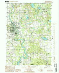
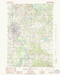
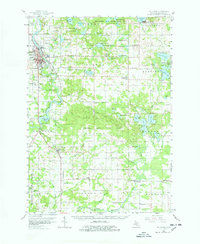
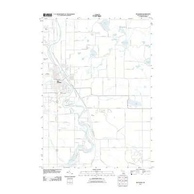
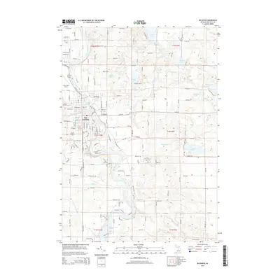
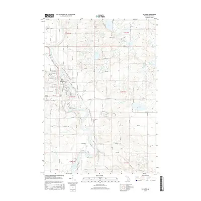
Loading map...1985 Map of Big Rapids
USGS Topo · Published 1985About this map
The Muskegon River serves as the central artery for this mid-1980s landscape, winding south through Big Rapids and into the Rogers Dam Pond. The presence of Ferris State College marks the town's character as an educational hub, while the surrounding townships of Green, Colfax, and Austin transition into a dense network of kettle lakes and wetlands. To the north and east, the Haymarsh Lake State Game Area and Pere Marquette State Forest define the wilder, recreational geography of the region.
Find a feature on this map
43 named features on this map. Tap any name to fly to it.
Don’t see what you’re looking for? This feature index may not catch every label — zoom into the map to look around manually.
Map Details
Date Portrayed1985
Date Published1985
PublisherU.S. Geological Survey
Map TypeTopographic
Scale1:24,000
Physical Dimensions22 x 26.9 inches
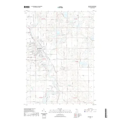
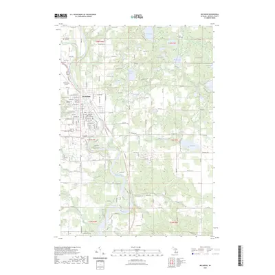
Editions of this 1985 Big Rapids Map
2 editions found
Historical Maps of Big Rapids Through Time
9 maps found


Featured Locations
- Austin Township, MI
- Big Rapids, MI
- Big Rapids Township, MI
- Green Charter Township, MI
- Mecosta Township, MI
Source Details
SourceU.S. Geological Survey
CopyrightPublic Domain