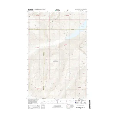
2014 Map of Big Salmon Lake West
USGS Topo · Published 2014About this map
The Flathead National Forest defines the wilderness character of this region, spanning the borders of Missoula, Powell, and Flathead counties. A complex network of drainages feeds into the primary water features, most notably Big Salmon Lake and the winding Big Salmon Cr that flows through the center of the quadrangle. The terrain is marked by significant elevation changes, with named summits like Garnet Peak, Gyp Mtn, and Flame Peak providing navigational landmarks across the backcountry. This 2014 survey documents the hydrologic system of the Bob Marshall Wilderness area, capturing the path of Casey Cr, Holbrook Cr, and Charlotte Cr as they move through the timbered slopes. Of particular note for backcountry researchers are the locations of Patrol Point and Barrier Falls, which represent the isolation and natural obstacles inherent to this protected landscape in the early 21st century.
Find a feature on this map
30 named features on this map. Tap any name to fly to it.
Don’t see what you’re looking for? This feature index may not catch every label — zoom into the map to look around manually.
Map Details
Editions of this 2014 Big Salmon Lake West Map
This is the sole edition of this map. No revisions or reprints were ever made.
Other maps of this area

1902 · Ovando
USGS Topo · 1:125,000

1905 · Ovando
USGS Topo · 1:125,000

1921 · Elbow Lake
USGS Topo · 1:125,000

1936 · Silvertip
USGS Topo · 1:96,000

1942 · Silvertip
USGS Topo · 1:125,000

1955 · Choteau
USGS Topo · 1:250,000

1957 · Choteau
USGS Topo · 1:250,000

1958 · Choteau
USGS Topo · 1:250,000

1962 · Choteau
USGS Topo · 1:250,000

1965 · Sunburst Lake
USGS Topo · 1:24,000