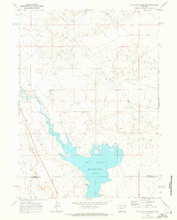
1969 Map of Big Sandy Reservoir
USGS Topo · Published 1973About this map
Big Sandy Reservoir dominates the landscape at the southern edge of Sublette Co, where the high desert terrain meets the irrigation needs of the late 1960s. This survey, based on 1968 aerial photography, captures the engineered hydrology of the Big Sandy River as it is impounded by the Big Sandy Dam. The map provides a technical view of water management in this arid region, featuring a Gaging Sta north of the reservoir and a Flowing Well to the south. Crossing the boundary into Sweetwater Co, the map documents the transition from riverine flow to a large standing water body, illustrating the significant modification of the natural drainage system for agricultural or resource purposes during this era.
Find a feature on this map
8 named features on this map. Tap any name to fly to it.
Don’t see what you’re looking for? This feature index may not catch every label — zoom into the map to look around manually.
Map Details
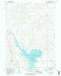
Editions of this 1969 Big Sandy Reservoir Map
2 editions found
Other maps of this area

1955 · Lander
USGS Topo · 1:250,000

1958 · Lander
USGS Topo · 1:250,000

1961 · Lander
USGS Topo · 1:250,000

1968 · Eden Reservoir East
USGS Topo · 1:24,000
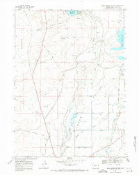
1968 · Eden Reservoir West
USGS Topo · 1:24,000
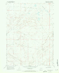
1968 · Fourmile Knoll
USGS Topo · 1:24,000
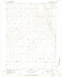
1969 · Juel Spring
USGS Topo · 1:24,000

1969 · Leckie Reservoir
USGS Topo · 1:24,000
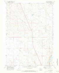
1969 · Bull Draw
USGS Topo · 1:24,000

1969 · Tabernacle Butte
USGS Topo · 1:24,000