
1960 Map of Big Sandy
USGS Topo · Published 1961About this map
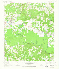
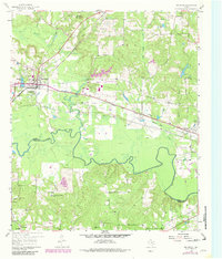
Big Sandy serves as the focal point of this 1960 survey, situated at the vital junction of the Texas and Pacific and St Louis Southwestern railroads. The town’s layout reflects its dual-rail heritage, with the Big Sandy Lake and the meandering Big Sandy Creek defining its northern and eastern reaches. To the south, the landscape is dominated by the broad, sinuous curves of the Sabine River, which marks the boundary between Upshur Co and Smith Co.
Find a feature on this map
33 named features on this map. Tap any name to fly to it.
Don’t see what you’re looking for? This feature index may not catch every label — zoom into the map to look around manually.
Map Details
Editions of this 1960 Big Sandy Map
Other maps of this area

1936 · Kilgore
USGS Topo · 1:48,000

1938 · Winona
USGS Topo · 1:48,000

1940 · Kilgore
USGS Topo · 1:62,500

1943 · Winona
USGS Topo · 1:62,500

1956 · Tyler
USGS Topo · 1:250,000

1960 · Shady Grove
USGS Topo · 1:24,000

1960 · Hawkins
USGS Topo · 1:24,000

1960 · Pritchett
USGS Topo · 1:24,000

1960 · Gilmer
USGS Topo · 1:24,000

1960 · Gladewater
USGS Topo · 1:24,000