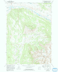
1968 Map of Big Sheep Mountain
USGS Topo · Published 1993About this map
The Green River carves a sweeping path through this high-altitude landscape, forming the prominent Big Bend as it flows below the massive ridges of the Bridger National Forest. Surveyed in the late 1960s, this area is defined by the sharp verticality of the Wind River Range, where peaks like Big Sheep Mountain and Little Sheep Mountain overlook a complex network of alpine drainages. The Highline Trail enters from the east, tracing a route through the Roaring Fork Basin toward the high interior.
Find a feature on this map
24 named features on this map. Tap any name to fly to it.
Don’t see what you’re looking for? This feature index may not catch every label — zoom into the map to look around manually.
Map Details
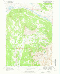
Editions of this 1968 Big Sheep Mountain Map
2 editions found
Other maps of this area

1907 · Gros Ventre
USGS Topo · 1:125,000

1909 · Fremont Peak
USGS Topo · 1:125,000

1910 · Gros Ventre
USGS Topo · 1:125,000

1955 · Driggs
USGS Topo · 1:250,000

1955 · Thermopolis
USGS Topo · 1:250,000

1958 · Driggs
USGS Topo · 1:250,000

1958 · Thermopolis
USGS Topo · 1:250,000

1962 · Thermopolis
USGS Topo · 1:250,000

1962 · Driggs
USGS Topo · 1:250,000
1966 · Dodge Butte
USGS Topo · 1:24,000