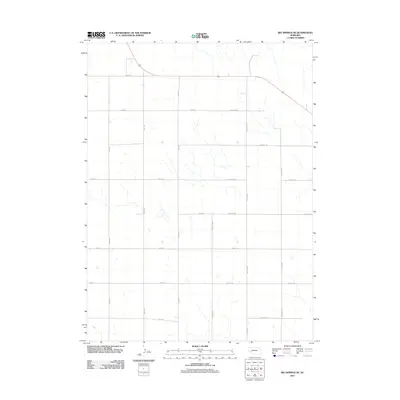
2011 Map of Big Springs NE
USGS Topo · Published 2011About this map
Agricultural lands north of the Platte River valley define this section of Deuel County, recorded here by the U.S. Geological Survey in 2011. The landscape is organized by a precise grid of section-line roads, such as Road 205 and Road 22, which facilitate movement through the high plains. The most significant thoroughfare is Road 34, which sweeps across the northern reaches, while Day Rd provides a north-south axis through the central fields.
Find a feature on this map
22 named features on this map. Tap any name to fly to it.
Don’t see what you’re looking for? This feature index may not catch every label — zoom into the map to look around manually.
Map Details
Editions of this 2011 Big Springs NE Map
This is the sole edition of this map. No revisions or reprints were ever made.
Other maps of this area

1897 · Ogallala
USGS Topo · 1:125,000

1900 · Chappell
USGS Topo · 1:125,000

1900 · Ogallala
USGS Topo · 1:125,000

1954 · Scottsbluff
USGS Topo · 1:250,000

1954 · North Platte
USGS Topo · 1:250,000

1956 · North Platte
USGS Topo · 1:250,000

1957 · North Platte
USGS Topo · 1:250,000

1958 · Scottsbluff
USGS Topo · 1:250,000

1961 · Barton
USGS Topo · 1:24,000

1961 · Big Springs
USGS Topo · 1:24,000