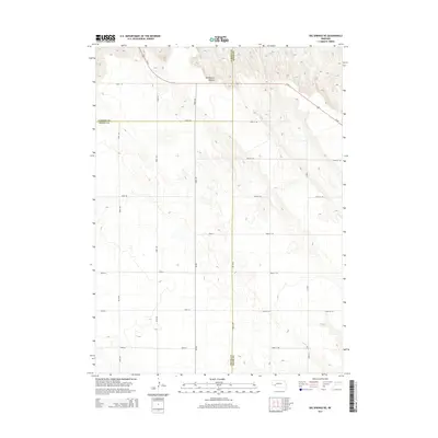
2014 Map of Big Springs NE
USGS Topo · Published 2014About this map
Dankworth Canyon cuts through the high plains of western Nebraska, marking the most prominent geographic feature in this corner of the state where three counties meet. This 2014 survey captures the intersection of Garden, Deuel, and Keith counties, a landscape defined by its rigorous section-line road grid and the diagonal path of Us-26 in the northern reaches. The area is a study in rural infrastructure, where routes like Road 34 and Road 20 serve as the primary conduits across the undulating terrain. While the landscape lacks dense settlements, the precise mapping of local roads such as Road 207 and Road 205 provides an essential framework for understanding modern land use and boundary lines in this agricultural region.
Find a feature on this map
23 named features on this map. Tap any name to fly to it.
Don’t see what you’re looking for? This feature index may not catch every label — zoom into the map to look around manually.
Map Details
Editions of this 2014 Big Springs NE Map
This is the sole edition of this map. No revisions or reprints were ever made.
Other maps of this area

1897 · Ogallala
USGS Topo · 1:125,000

1900 · Chappell
USGS Topo · 1:125,000

1900 · Ogallala
USGS Topo · 1:125,000

1954 · Scottsbluff
USGS Topo · 1:250,000

1954 · North Platte
USGS Topo · 1:250,000

1956 · North Platte
USGS Topo · 1:250,000

1957 · North Platte
USGS Topo · 1:250,000

1958 · Scottsbluff
USGS Topo · 1:250,000

1961 · Barton
USGS Topo · 1:24,000

1961 · Big Springs
USGS Topo · 1:24,000