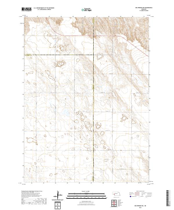
2021 Map of Big Springs NE
USGS Topo · Published 2021About this map
Dankworth Canyon cuts through the northern reaches of this High Plains landscape, marking a rare break in the tableland where Garden County, Deuel County, and Keith County converge. The area is defined by a rigorous grid of section lines and rural tracks, such as RD 32 and Rd West 140, which reflect the enduring legacy of the Public Land Survey System. These roads trace the boundaries between townships like t15n r42w and t14n r41w, facilitating the agricultural movement and property division characteristic of western Nebraska's panhandle. The map reveals the meticulous organization of ranching and farming territories, where small depressions and ephemeral water features are scattered across the expansive prairie terrain.
Find a feature on this map
28 named features on this map. Tap any name to fly to it.
Don’t see what you’re looking for? This feature index may not catch every label — zoom into the map to look around manually.
Map Details
Editions of this 2021 Big Springs NE Map
This is the sole edition of this map. No revisions or reprints were ever made.
Other maps of this area

1897 · Ogallala
USGS Topo · 1:125,000

1900 · Chappell
USGS Topo · 1:125,000

1900 · Ogallala
USGS Topo · 1:125,000

1954 · Scottsbluff
USGS Topo · 1:250,000

1954 · North Platte
USGS Topo · 1:250,000

1956 · North Platte
USGS Topo · 1:250,000

1957 · North Platte
USGS Topo · 1:250,000

1958 · Scottsbluff
USGS Topo · 1:250,000

1961 · Barton
USGS Topo · 1:24,000

1961 · Big Springs
USGS Topo · 1:24,000