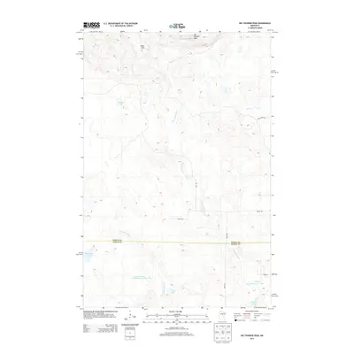
2013 Map of Big Thunder Peak
USGS Topo · Published 2013About this map
Big Thunder Peak and the Sugar Hills dominate this northern Minnesota landscape, marking a terrain of complex glacial depressions and localized drainage. The map captures the boundary between Itasca Co and Aitkin Co, where the headwaters of several water systems converge. A striking feature of the southern portion is the Little Hill River Wildlife Impoundment, a managed hydrological area alongside the Little Hill River.
Find a feature on this map
18 named features on this map. Tap any name to fly to it.
Don’t see what you’re looking for? This feature index may not catch every label — zoom into the map to look around manually.
Map Details
Editions of this 2013 Big Thunder Peak Map
This is the sole edition of this map. No revisions or reprints were ever made.
Other maps of this area

1953 · Siseebakwet Lake
USGS Topo · 1:24,000

1953 · Grand Rapids
USGS Topo · 1:24,000

1953 · Duluth
USGS Topo · 1:250,000

1954 · Hibbing
USGS Topo · 1:250,000

1957 · Hibbing
USGS Topo · 1:250,000

1958 · Hibbing
USGS Topo · 1:250,000

1958 · Duluth
USGS Topo · 1:250,000

1964 · Hibbing
USGS Topo · 1:250,000

1970 · Big Thunder Peak
USGS Topo · 1:24,000

1970 · Shovel Lake
USGS Topo · 1:24,000