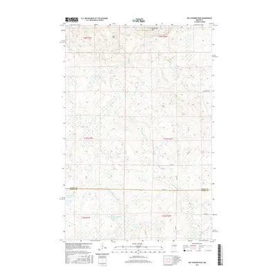
2016 Map of Big Thunder Peak
USGS Topo · Published 2016About this map
The Sugar Hills dominate the northern landscape of this Northwoods quadrangle, rising to the prominent summit of Big Thunder Peak. This high ground transitions into a complex hydrologic network of creeks and glacial basins, including the headwaters of Morrison Brook and Smith Cr. The southern half of the map is defined by low-lying wetlands and conservation efforts, notably within the Little Hill River Wildlife Impoundment, where the Little Hill River meanders across the border between Itasca and Aitkin Counties.
Find a feature on this map
25 named features on this map. Tap any name to fly to it.
Don’t see what you’re looking for? This feature index may not catch every label — zoom into the map to look around manually.
Map Details
Editions of this 2016 Big Thunder Peak Map
This is the sole edition of this map. No revisions or reprints were ever made.
Other maps of this area

1953 · Siseebakwet Lake
USGS Topo · 1:24,000

1953 · Grand Rapids
USGS Topo · 1:24,000

1953 · Duluth
USGS Topo · 1:250,000

1954 · Hibbing
USGS Topo · 1:250,000

1957 · Hibbing
USGS Topo · 1:250,000

1958 · Hibbing
USGS Topo · 1:250,000

1958 · Duluth
USGS Topo · 1:250,000

1964 · Hibbing
USGS Topo · 1:250,000

1970 · Big Thunder Peak
USGS Topo · 1:24,000

1970 · Shovel Lake
USGS Topo · 1:24,000