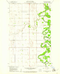
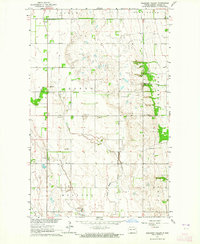
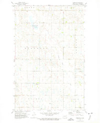
1960 Map of Big Woods NW
USGS Topo · Published 1961This historical map portrays the area of Big Woods NW in 1960, primarily covering Walsh County as well as portions of Minnesota. Featuring a scale of 1:24000, this map provides a highly detailed snapshot of the terrain, roads, buildings, counties, and historical landmarks in the Big Woods NW region at the time. Published in 1961, it is one of 2 known editions of this map due to revisions or reprints.
Find a feature on this map
14 named features on this map. Tap any name to fly to it.
Don’t see what you’re looking for? This feature index may not catch every label — zoom into the map to look around manually.
Map Details
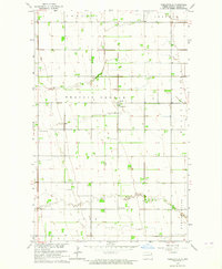
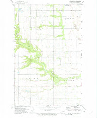
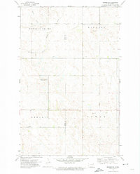
Editions of this 1960 Big Woods NW Map
2 editions found
Historical Maps of Marshall County Through Time
11 maps found
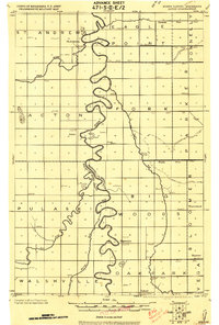
1918 Acton
Walsh County, ND
1960 Big Woods NW
Walsh County, ND
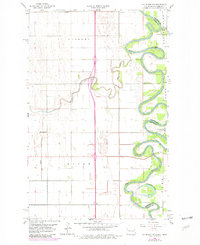
1960 Oakwood
Walsh County, ND
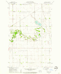
1963 Pleasant Valley
Walsh County, ND
1963 Veseleyville
Walsh County, ND
1966 Big Woods SW
Walsh County, ND
1972 Adams SE
Walsh County, ND
1972 Adams SW
Walsh County, ND
1972 Edinburg NW
Walsh County, ND
1972 Edmore NE
Walsh County, ND
1972 Voss
Walsh County, ND