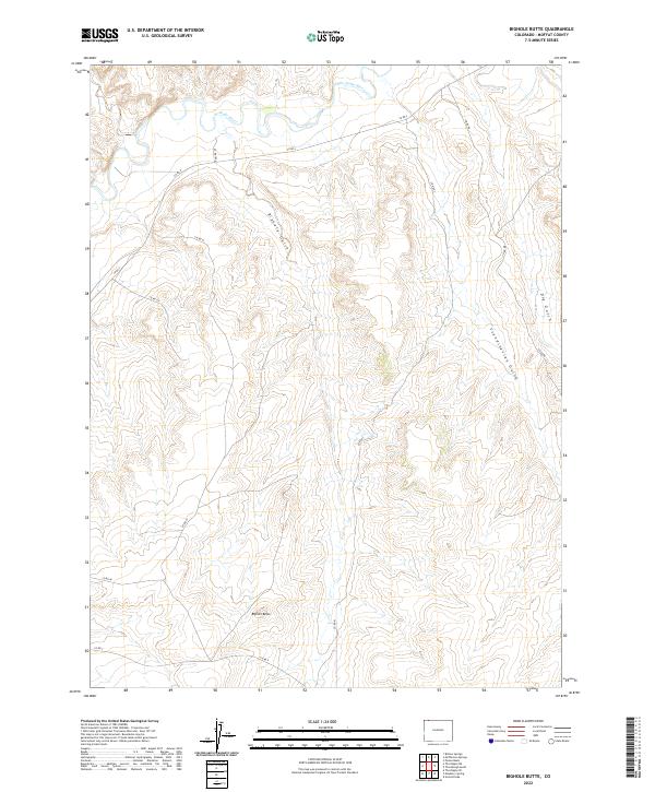
2022 Map of Bighole Butte
USGS Topo · Published 2022About this map
The Little Snake River winds through the northern reaches of this Moffat County landscape, defining the primary drainage for a series of deep cuts into the high plateau. The terrain is characterized by a network of erosion-carved features including Bighole Gulch, Scandinavian Gulch, and Dry Gulch, which all channel toward the river valley. Standing as a central landmark in the southern half of the sheet, Bighole Butte rises above the surrounding sections, serving as a significant topographical anchor for the region.
Find a feature on this map
17 named features on this map. Tap any name to fly to it.
Don’t see what you’re looking for? This feature index may not catch every label — zoom into the map to look around manually.
Map Details
Editions of this 2022 Bighole Butte Map
This is the sole edition of this map. No revisions or reprints were ever made.
Other maps of this area

1916 · Craig
USGS Topo · 1:125,000

1954 · Vernal
USGS Topo · 1:250,000

1954 · Rawlins
USGS Topo · 1:250,000

1954 · Rock Springs
USGS Topo · 1:250,000

1954 · Craig
USGS Topo · 1:250,000

1957 · Craig
USGS Topo · 1:250,000

1958 · Rawlins
USGS Topo · 1:250,000

1958 · Vernal
USGS Topo · 1:250,000

1958 · Rock Springs
USGS Topo · 1:250,000

1958 · Craig
USGS Topo · 1:250,000