
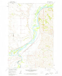
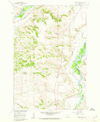
1960 Map of Bighorn
USGS Topo · Published 1962About this map
The confluence of the Yellowstone River and Bighorn River dominates this 1960 landscape, revealing a complex network of irrigation and transportation essential to Treasure County ranching. The Northern Pacific railroad tracks parallel the riverbank, connecting the small settlement of Bighorn to the wider region. In the fertile floodplains known as Pease Bottom and Big Ox Bottom, extensive water management is visible through the Rancher Ditch, Tullock Ditch, and Victory Ditch.
Find a feature on this map
30 named features on this map. Tap any name to fly to it.
Don’t see what you’re looking for? This feature index may not catch every label — zoom into the map to look around manually.
Map Details
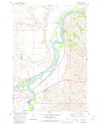
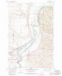
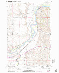
Editions of this 1960 Bighorn Map
5 editions found
Other maps of this area

1954 · Forsyth
USGS Topo · 1:250,000

1957 · Forsyth
USGS Topo · 1:250,000

1958 · Forsyth
USGS Topo · 1:250,000

1960 · Custer
USGS Topo · 1:24,000

1960 · Myers
USGS Topo · 1:24,000

1960 · Rancher Cemetery
USGS Topo · 1:24,000

1960 · Marsh Coulee
USGS Topo · 1:24,000
1960 · Mission Creek
USGS Topo · 1:24,000

1960 · Eldering Ranch
USGS Topo · 1:24,000

1960 · Hope Ranch
USGS Topo · 1:24,000