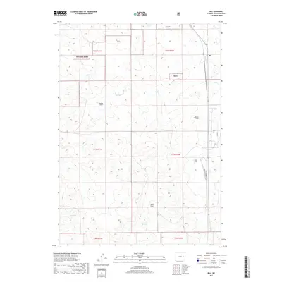
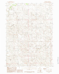
2017 Map of Bill
USGS Topo · Published 2017About this map
The settlement of Bill anchors the northeastern corner of this Converse County survey, situated at a major junction of northern Wyoming transportation. Large portions of the western and northern terrain fall within the Thunder Basin National Grassland, a landscape defined by an intricate network of drainage channels such as Poison Draw, Reeves Draw, and Mikes Draw. These ephemeral waterways flow toward larger basins like Dry Cr, reflecting the arid grazing land's reliance on managed water sources. Small-scale water management is evident in the presence of the Rice Reservoir and Thomas Reservoir, which provide critical resources for livestock and wildlife. Local infrastructure is concentrated near the settlement, with rural routes like Co Rd 40 and residential naming conventions appearing on streets such as Jamie St and Opal St.
Find a feature on this map
22 named features on this map. Tap any name to fly to it.
Don’t see what you’re looking for? This feature index may not catch every label — zoom into the map to look around manually.
Map Details
Editions of this 2017 Bill Map
This is the sole edition of this map. No revisions or reprints were ever made.
Other maps of this area

1955 · Newcastle
USGS Topo · 1:250,000

1958 · Newcastle
USGS Topo · 1:250,000
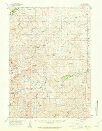
1959 · Bill
USGS Topo · 1:62,500
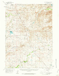
1959 · Betty Reservoir
USGS Topo · 1:62,500
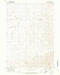
1970 · Bill 4 NW
USGS Topo · 1:24,000
1970 · Bill 4 SW
USGS Topo · 1:24,000
1971 · Tin Can Lake
USGS Topo · 1:24,000
1979 · Bill
USGS Topo · 1:100,000
1984 · Bobby Draw
USGS Topo · 1:24,000
1984 · Patsy Draw
USGS Topo · 1:24,000