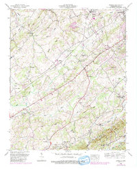
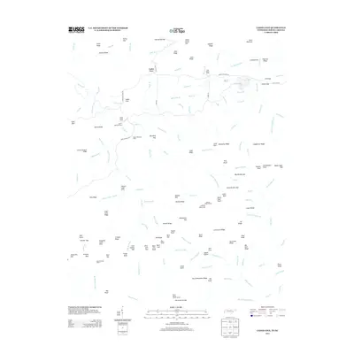
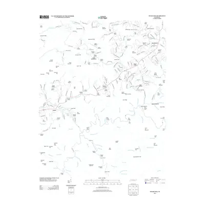
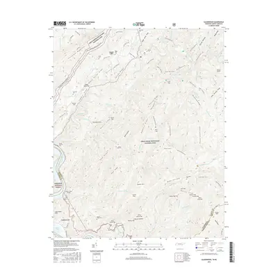
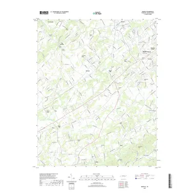
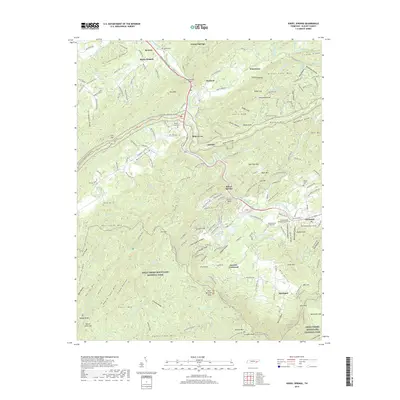
1952 Map of Binfield
USGS Topo · Published 1990About this map
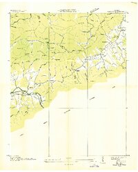
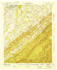
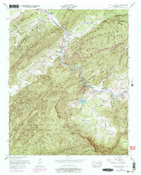
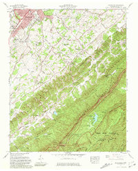
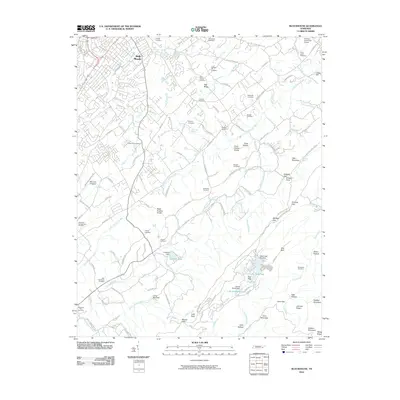
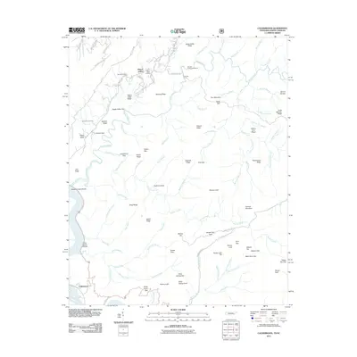
Brick Mill stands as a focal point in this 1950s landscape, situated along Little Baker Creek where the rural character of Blount County is defined by an intricate network of ridges and small stream valleys. The area transitions from the western outskirts of Maryville into a patchwork of family-named terrain like Curtis Ridge and Hutton Ridge. This survey reveals a high density of rural spiritual life, with numerous landmarks such as Clover Hill Church, Oakland Church, and Gospel Temple Church serving the scattered farming communities. Significant genealogical detail is preserved through labels for the Seceder Cemetery, Hamil Cemetery, and Lambert Cemetery. The southern portion of the quadrangle is dominated by the prominent Woodpecker Knobs, while the lowland areas show the development of local infrastructure like the Fairview School and the recreational Carpenter Campground.
Find a feature on this map
52 named features on this map. Tap any name to fly to it.
Don’t see what you’re looking for? This feature index may not catch every label — zoom into the map to look around manually.
Map Details
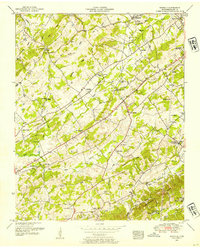
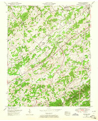
Editions of this 1952 Binfield Map
4 editions found

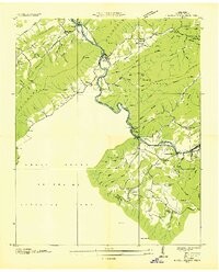
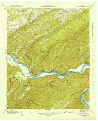
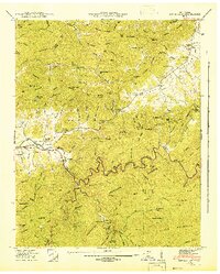
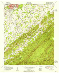
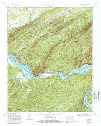
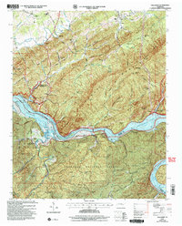
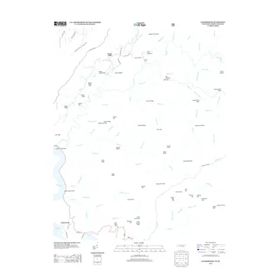
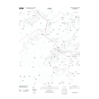
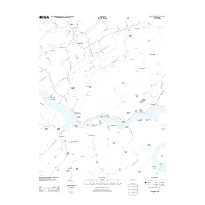
Historical Maps of Maryville Through Time
60 maps found

1935 Binfield
Blount County, TN

1935 Blockhouse
Blount County, TN

1935 Calderwood
Blount County, TN

1935 Tallassee
Blount County, TN
1936 Kinzel Springs
Blount County, TN
1936 Wear Cove
Blount County, TN
1941 Binfield
Blount County, TN
1941 Kinzel Springs
Blount County, TN
1941 Tallassee
Blount County, TN
1942 Blockhouse
Blount County, TN
1942 Tallassee
Blount County, TN
1942 Wear Cove
Blount County, TN
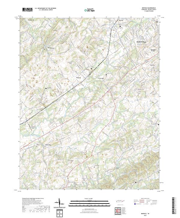
1952 Binfield
Blount County, TN
1953 Blockhouse
Blount County, TN
1953 Kinzel Springs
Blount County, TN
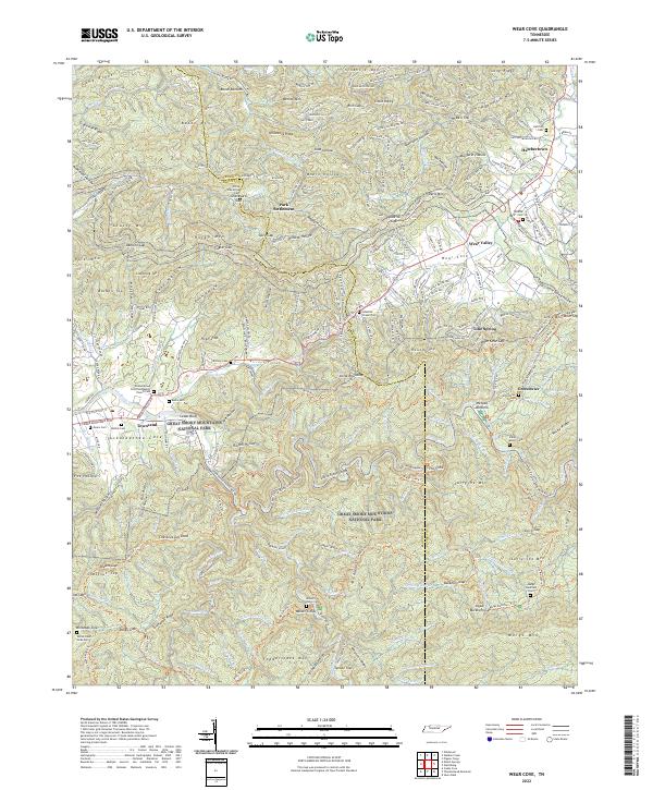
1953 Wear Cove
Blount County, TN
1964 Cades Cove
Blount County, TN
1964 Calderwood
Blount County, TN
1966 Blockhouse
Blount County, TN
1966 Tallassee
Blount County, TN

2000 Cades Cove
Blount County, TN

2000 Calderwood
Blount County, TN

2000 Thunderhead Mtn
Blount County, TN

2003 Calderwood
Blount County, TN
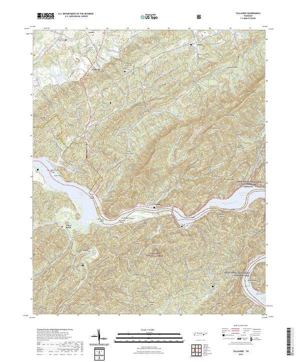
2003 Tallassee
Blount County, TN
2010 Binfield
Blount County, TN
2010 Blockhouse
Blount County, TN
2010 Cades Cove
Blount County, TN
2010 Kinzel Springs
Blount County, TN
2010 Wear Cove
Blount County, TN
2011 Calderwood
Blount County, TN
2011 Tallassee
Blount County, TN
2013 Binfield
Blount County, TN
2013 Blockhouse
Blount County, TN
2013 Cades Cove
Blount County, TN
2013 Calderwood
Blount County, TN
2013 Kinzel Springs
Blount County, TN
2013 Tallassee
Blount County, TN
2013 Wear Cove
Blount County, TN
2016 Binfield
Blount County, TN
2016 Blockhouse
Blount County, TN
2016 Cades Cove
Blount County, TN
2016 Calderwood
Blount County, TN
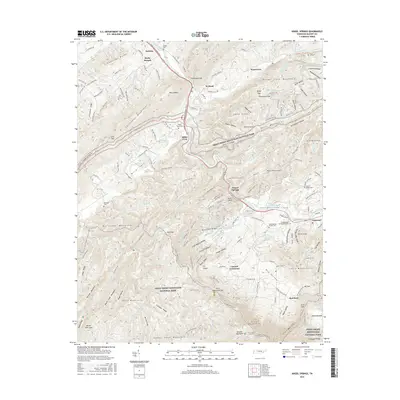
2016 Kinzel Springs
Blount County, TN
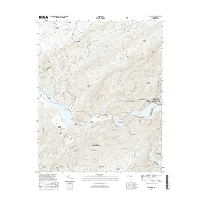
2016 Tallassee
Blount County, TN
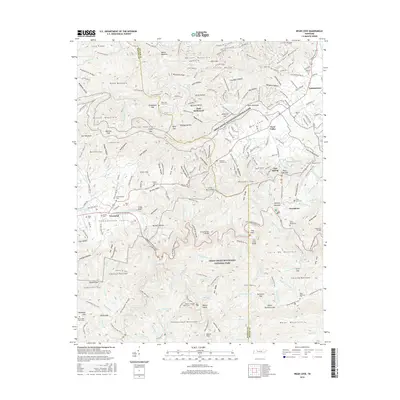
2016 Wear Cove
Blount County, TN
2019 Binfield
Blount County, TN
2019 Blockhouse
Blount County, TN
2019 Cades Cove
Blount County, TN
2019 Calderwood
Blount County, TN
2019 Kinzel Springs
Blount County, TN
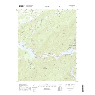
2019 Tallassee
Blount County, TN
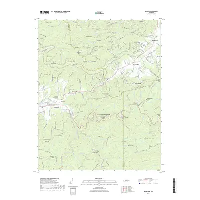
2019 Wear Cove
Blount County, TN
2022 Binfield
Blount County, TN
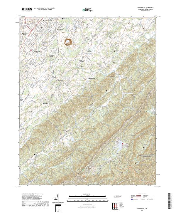
2022 Blockhouse
Blount County, TN
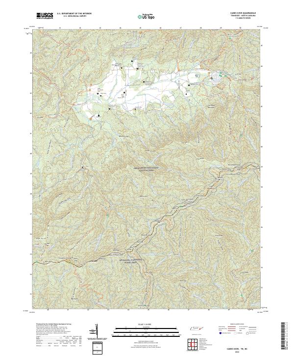
2022 Cades Cove
Blount County, TN
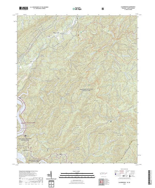
2022 Calderwood
Blount County, TN
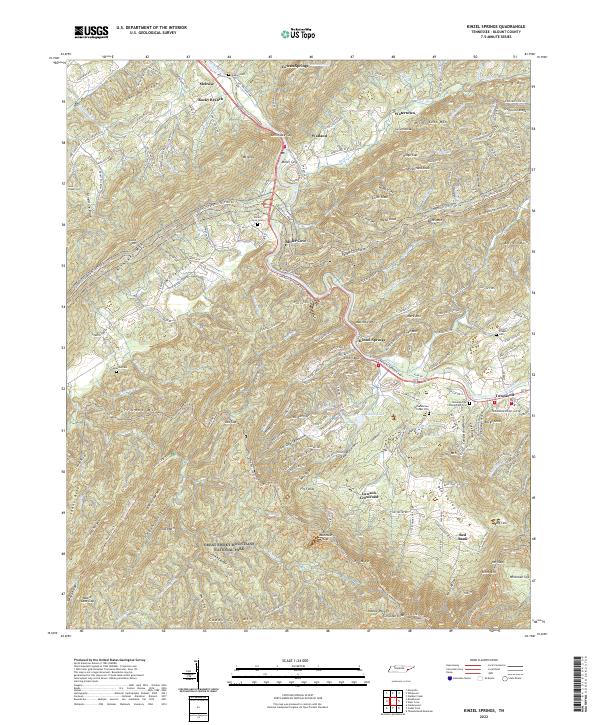
2022 Kinzel Springs
Blount County, TN
2022 Tallassee
Blount County, TN
2022 Wear Cove
Blount County, TN