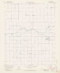
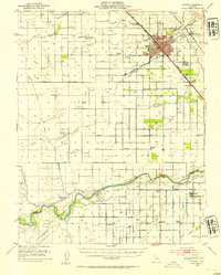
1963 Map of Biola
USGS Topo · Published 1964About this map
The San Joaquin River carves a serpentine boundary between Madera and Fresno counties, anchoring a landscape defined by industrial-scale irrigation and agriculture. During the early 1960s, this region relied on an intricate network of waterways including the Herndon Canal, Little Sandridge Canal, and Empire Ditch to sustain the orchards and fields of the Central Valley. The small settlement of Biola serves as a hub for the local farming community, situated along the Southern Pacific railroad line. Local education and community life are marked by the Kerman Union High Sch and Sun Empire Sch, while Bethany Cem and Skaggs Bridge stand as prominent landmarks for researchers tracing the mid-century development of these rural townships. The map also identifies aviation and resource sites like Briscoe Field and several gravel pits near the river banks.
Find a feature on this map
34 named features on this map. Tap any name to fly to it.
Don’t see what you’re looking for? This feature index may not catch every label — zoom into the map to look around manually.
Map Details
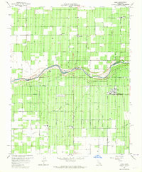
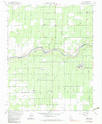
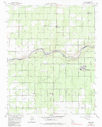
Editions of this 1963 Biola Map
4 editions found
Other maps of this area

1920 · Bonita Ranch
USGS Topo · 1:31,680

1921 · Bonita Ranch
USGS Topo · 1:31,680

1922 · Gregg
USGS Topo · 1:31,680

1922 · Madera
USGS Topo · 1:31,680

1923 · Kearney Park
USGS Topo · 1:31,680

1923 · Herndon
USGS Topo · 1:31,680

1923 · Biola
USGS Topo · 1:31,680

1924 · Jamesan
USGS Topo · 1:31,680

1924 · Gravelly Ford
USGS Topo · 1:31,680
1946 · Madera
USGS Topo · 1:62,500