
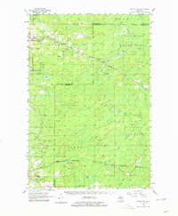
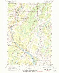
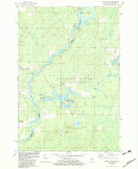
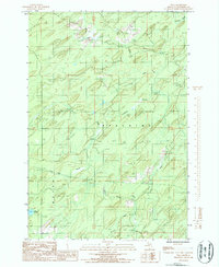
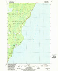
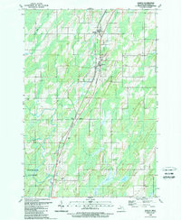
2023 Map of Birch Creek
USGS Topo · Published 2023This historical map portrays the area of Birch Creek in 2023, primarily covering Menominee. Featuring a scale of 1:24000, this map provides a highly detailed snapshot of the terrain, roads, buildings, counties, and historical landmarks in the Birch Creek region at the time. Published in 2023, it is the sole known edition of this map.
Find a feature on this map
57 named features on this map. Tap any name to fly to it.
Don’t see what you’re looking for? This feature index may not catch every label — zoom into the map to look around manually.
Map Details
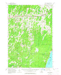
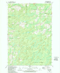
Editions of this 2023 Birch Creek Map
This is the sole edition of this map. No revisions or reprints were ever made.
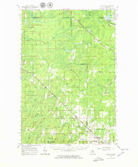
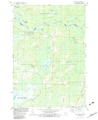
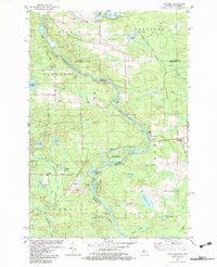
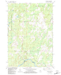
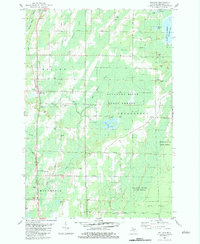
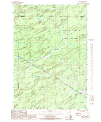
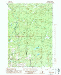
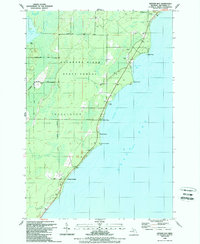
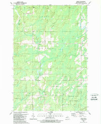
Historical Maps of Menominee Through Time
46 maps found
1956 Foster City
Menominee County, MI
1963 Bark River
Menominee County, MI
1963 Birch Creek
Menominee County, MI
1963 Cedar River
Menominee County, MI
1963 Chappee Rapids
Menominee County, MI
1963 Schaffer
Menominee County, MI
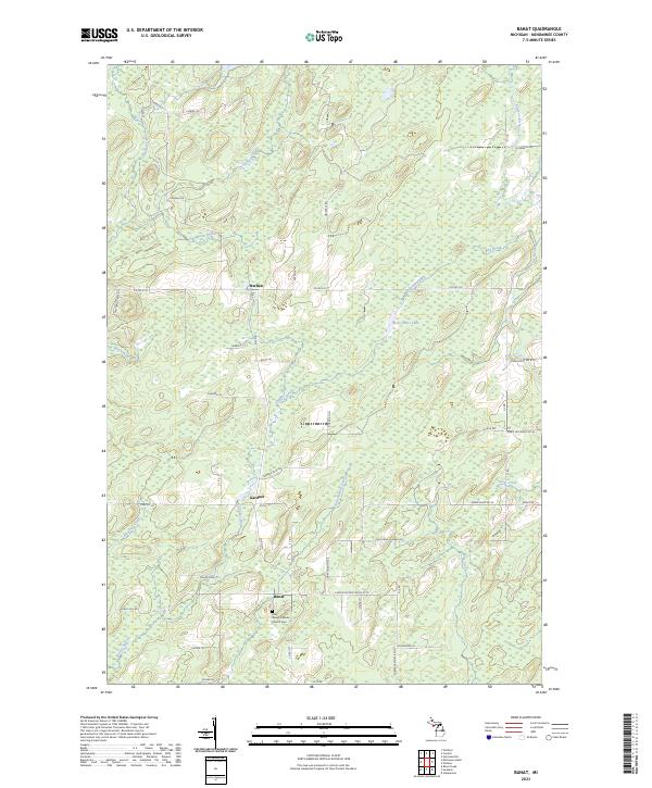
1982 Bear Point
Menominee County, MI
1982 Faithorn
Menominee County, MI
1982 Resort Lake
Menominee County, MI
1982 Swanson
Menominee County, MI
1982 Wallace
Menominee County, MI
1986 Helps
Menominee County, MI
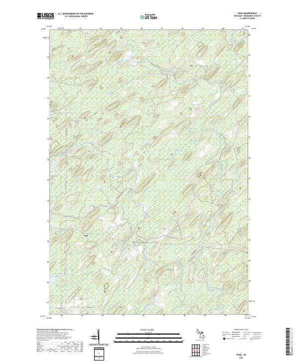
1986 Vega
Menominee County, MI
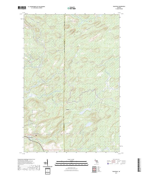
1986 Waucedah
Menominee County, MI
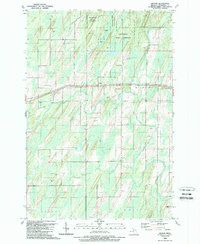
1989 Arthur Bay
Menominee County, MI
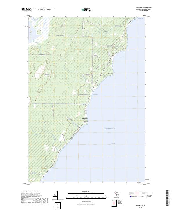
1989 Banat
Menominee County, MI
1989 Cedar River
Menominee County, MI
1989 Cunard
Menominee County, MI
1989 Gourley
Menominee County, MI
1989 La Branche
Menominee County, MI
1989 Nadeau
Menominee County, MI
1989 North Lake
Menominee County, MI
1989 Seagull Point
Menominee County, MI
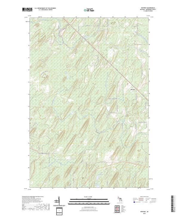
1989 Whitney
Menominee County, MI
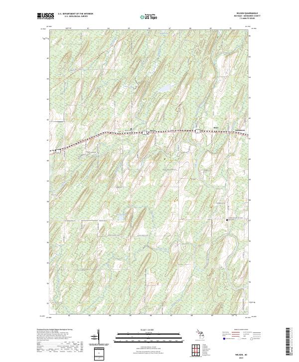
1989 Wilson
Menominee County, MI
2023 Arthur Bay
Menominee County, MI
2023 Banat
Menominee County, MI
2023 Bear Point
Menominee County, MI
2023 Birch Creek
Menominee County, MI
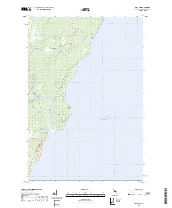
2023 Cedar River
Menominee County, MI
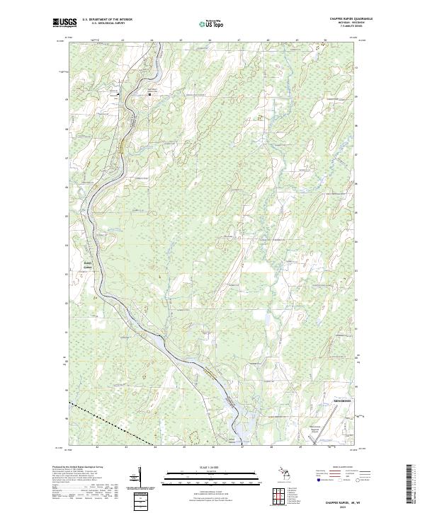
2023 Chappee Rapids
Menominee County, MI
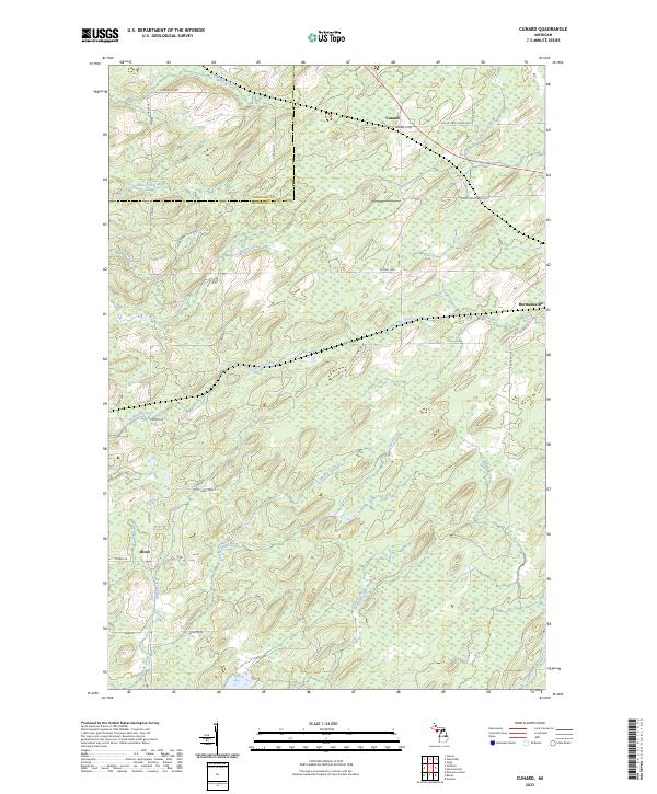
2023 Cunard
Menominee County, MI
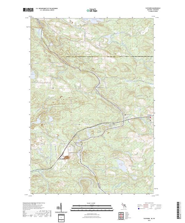
2023 Faithorn
Menominee County, MI
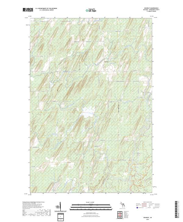
2023 Gourley
Menominee County, MI
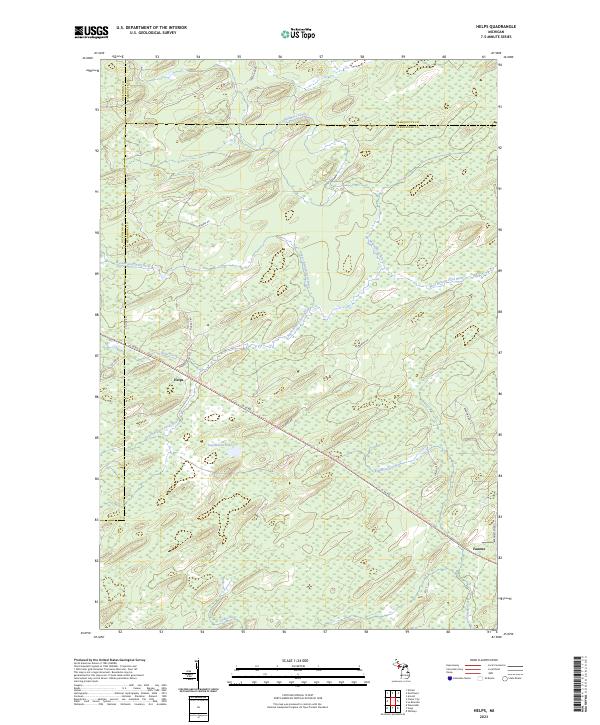
2023 Helps
Menominee County, MI
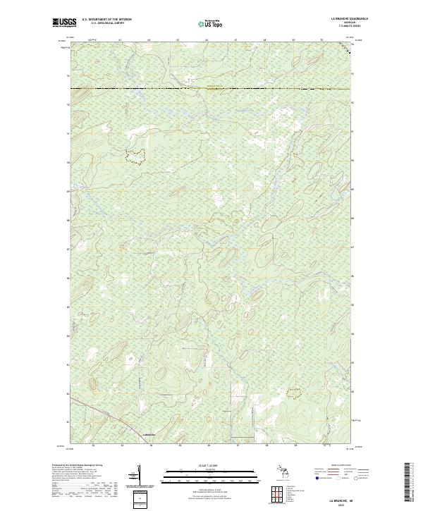
2023 La Branche
Menominee County, MI
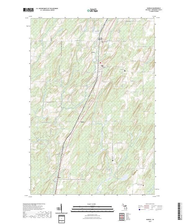
2023 Nadeau
Menominee County, MI
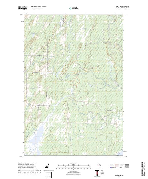
2023 North Lake
Menominee County, MI
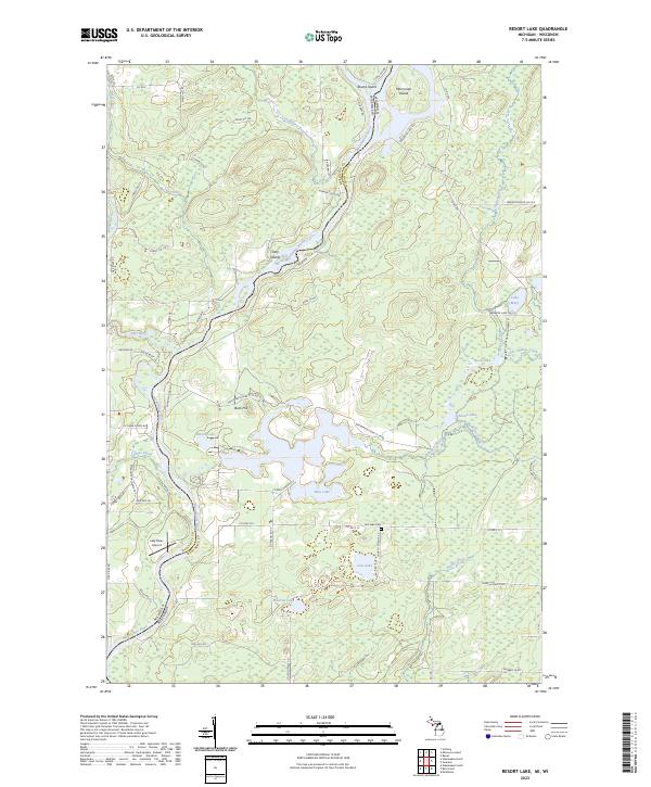
2023 Resort Lake
Menominee County, MI
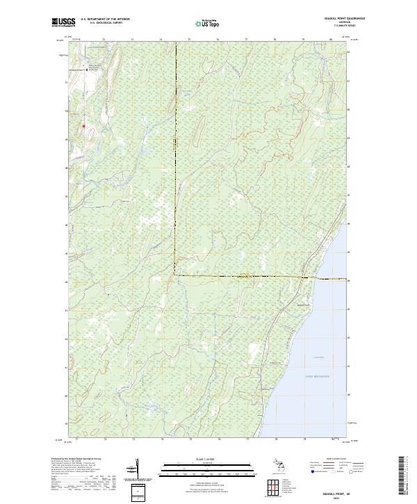
2023 Seagull Point
Menominee County, MI
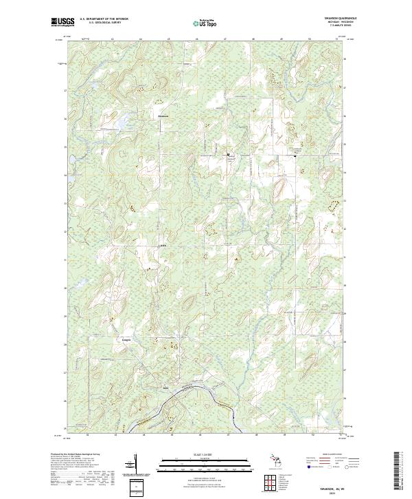
2023 Swanson
Menominee County, MI
2023 Vega
Menominee County, MI

2023 Wallace
Menominee County, MI
2023 Waucedah
Menominee County, MI
2023 Whitney
Menominee County, MI
2023 Wilson
Menominee County, MI
Featured Locations
- Menominee, MI
- Ingallston, Ingallston Township
- Birch Creek, Menominee Township
- Hansen, Menominee Township
- Kew, Menominee Township