
1952 Map of Birch Point
USGS Topo · Published 1954About this map
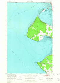
The Semiahmoo Spit and the surrounding coastline of the Strait of Georgia define this mid-century maritime landscape on the border of British Columbia. At Semiahmoo, a local Water Tank and Reservoir overlook the sheltered waters of Drayton Harbor, while the northern edge of Blaine is bounded by the city limits near Semiahmoo Bay. The interior terrain is largely shaped by rural navigation along routes like Loomis Trail Rd and Birch Point Rd, leading to shoreline settlements such as Cottonwood Beach.
Find a feature on this map
24 named features on this map. Tap any name to fly to it.
Don’t see what you’re looking for? This feature index may not catch every label — zoom into the map to look around manually.
Map Details
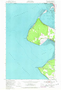
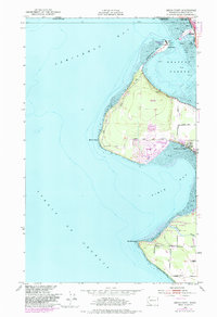
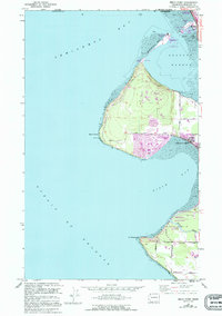
Editions of this 1952 Birch Point Map
5 editions found
Other maps of this area

1907 · Blaine
USGS Topo · 1:62,500

1952 · Lummi Bay
USGS Topo · 1:24,000

1952 · Blaine
USGS Topo · 1:24,000

1952 · Blaine
USGS Topo · 1:62,500

1957 · Victoria
USGS Topo · 1:250,000

1973 · Sucia Island
USGS Topo · 1:24,000

1975 · Bellingham
USGS Topo · 1:100,000
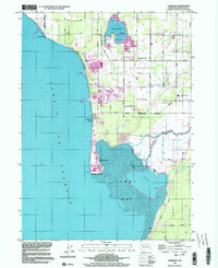
1997 · Lummi Bay
USGS Topo · 1:24,000
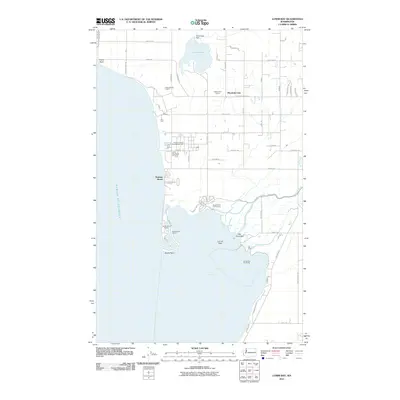
2011 · Lummi Bay
USGS Topo · 1:24,000
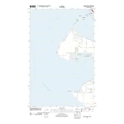
2011 · Birch Point
USGS Topo · 1:24,000