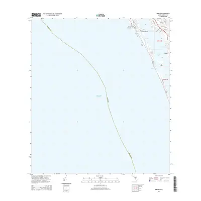
2015 Map of Bird Keys
USGS Topo · Published 2015About this map
White Beach and Point O'Rocks anchor this coastal survey of the Florida Gulf shoreline, where the barrier islands of Siesta Key and Casey Key frame the sheltered waters of Little Sarasota Bay. The geography is defined by narrow passes and shifting tidal inlets, specifically Midnight Pass and Blind Pass, which connect the inland waters to the Gulf of Mexico. The development pattern reflects a transition from residential pockets like Vamo and Coral Cove to the linear coastal neighborhoods along Midnight Pass Rd.
Find a feature on this map
37 named features on this map. Tap any name to fly to it.
Don’t see what you’re looking for? This feature index may not catch every label — zoom into the map to look around manually.
Map Details
Editions of this 2015 Bird Keys Map
This is the sole edition of this map. No revisions or reprints were ever made.
Other maps of this area

1943 · Laurel
USGS Topo · 1:24,000

1944 · Bird Keys
USGS Topo · 1:31,680

1944 · Sarasota
USGS Topo · 1:31,680

1944 · Laurel
USGS Topo · 1:31,680

1944 · Venice
USGS Topo · 1:31,680

1947 · Bee Ridge
USGS Topo · 1:24,000

1956 · Tampa
USGS Topo · 1:250,000

1959 · Tampa
USGS Topo · 1:250,000

1960 · Tampa
USGS Topo · 1:250,000

1972 · Tampa
USGS Topo · 1:250,000