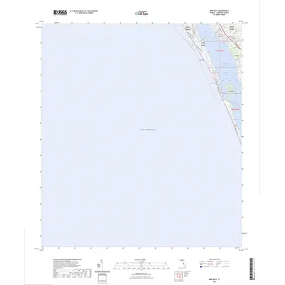
2024 Map of Bird Keys
USGS Topo · Published 2024About this map
Siesta Key and the barrier islands of Sarasota County define this coastal landscape, where the Gulf of Mexico meets a complex network of internal waterways. The map illustrates the residential development patterns along the coast, particularly around Vamo and the neighborhood of Gulf Gate. Navigational features are prominent, including the Intracoastal Waterway as it threads through Little Sarasota Bay and the narrow opening at Blind Pass.
Find a feature on this map
34 named features on this map. Tap any name to fly to it.
Don’t see what you’re looking for? This feature index may not catch every label — zoom into the map to look around manually.
Map Details
Editions of this 2024 Bird Keys Map
This is the sole edition of this map. No revisions or reprints were ever made.
Other maps of this area

1943 · Laurel
USGS Topo · 1:24,000

1944 · Bird Keys
USGS Topo · 1:31,680

1944 · Sarasota
USGS Topo · 1:31,680

1944 · Laurel
USGS Topo · 1:31,680

1944 · Venice
USGS Topo · 1:31,680

1947 · Bee Ridge
USGS Topo · 1:24,000

1956 · Tampa
USGS Topo · 1:250,000

1959 · Tampa
USGS Topo · 1:250,000

1960 · Tampa
USGS Topo · 1:250,000

1972 · Tampa
USGS Topo · 1:250,000