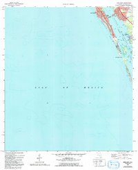
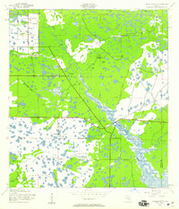
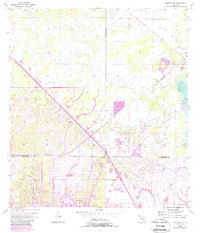
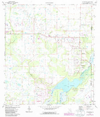
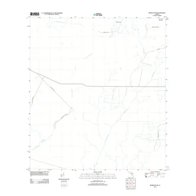
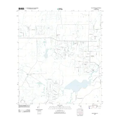
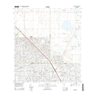
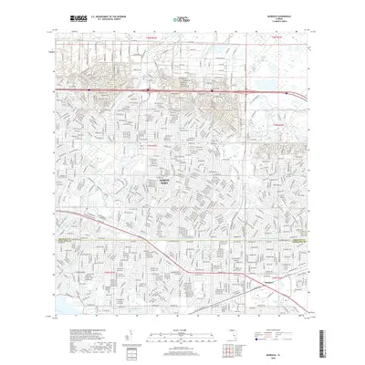
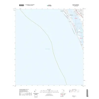
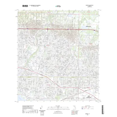
1973 Map of Bird Keys
USGS Topo · Published 1992About this map
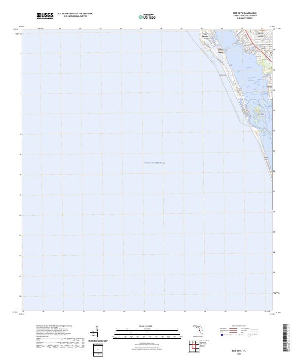
Siesta Key and Casey Key dominate this coastal survey, which documents the barrier island geography and shoreline of Sarasota County in the early 1970s. The map illustrates the narrow separation of Little Sarasota Bay from the Gulf of Mexico, connected by the natural breach at Midnight Pass. Along the shore, residential developments such as Coral Cove and White Beach are established, while the Intracoastal Waterway cuts a protected passage behind the keys. Notable coastal features include the rocky outcrop at Point O'Rocks and the sheltered waters of Heron Lagoon. The interior shows the settlement of Vamo and the scattered Bird Keys within the bay, providing a detailed record of the region's navigable channels and tidal flats before further modern development altered the coastal dynamics.
Find a feature on this map
16 named features on this map. Tap any name to fly to it.
Don’t see what you’re looking for? This feature index may not catch every label — zoom into the map to look around manually.
Map Details
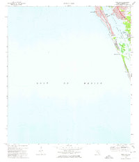
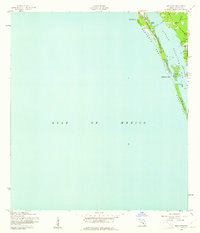
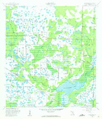
Editions of this 1973 Bird Keys Map
2 editions found
Historical Maps of White Beach Through Time
62 maps found
1944 Bird Keys
Sarasota County, FL
1944 Lower Myakka Lake
Sarasota County, FL
1944 Myakka River
Sarasota County, FL
1944 Old Myakka
Sarasota County, FL
1956 Murdock NW
Sarasota County, FL
1956 Murdock
Sarasota County, FL
1956 Murdock SE
Sarasota County, FL
1957 Englewood NW
Sarasota County, FL
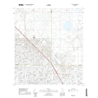
1973 Bird Keys
Sarasota County, FL
1973 Lower Myakka Lake
Sarasota County, FL
1973 Myakka River
Sarasota County, FL
1973 Old Myakka
Sarasota County, FL
1994 Englewood NW
Sarasota County, FL
2012 Bird Keys
Sarasota County, FL
2012 Englewood NW
Sarasota County, FL

2012 Lower Myakka Lake
Sarasota County, FL
2012 Murdock NW
Sarasota County, FL
2012 Murdock
Sarasota County, FL
2012 Murdock SE
Sarasota County, FL
2012 Myakka River
Sarasota County, FL
2012 Old Myakka
Sarasota County, FL

2012 Sarasota OE W
Sarasota County, FL
2015 Bird Keys
Sarasota County, FL

2015 Englewood NW
Sarasota County, FL

2015 Lower Myakka Lake
Sarasota County, FL
2015 Murdock NW
Sarasota County, FL
2015 Murdock
Sarasota County, FL
2015 Murdock SE
Sarasota County, FL
2015 Myakka River
Sarasota County, FL
2015 Old Myakka
Sarasota County, FL

2015 Sarasota OE W
Sarasota County, FL
2018 Bird Keys
Sarasota County, FL

2018 Englewood NW
Sarasota County, FL

2018 Lower Myakka Lake
Sarasota County, FL

2018 Murdock NW
Sarasota County, FL
2018 Murdock
Sarasota County, FL
2018 Murdock SE
Sarasota County, FL
2018 Myakka River
Sarasota County, FL
2018 Old Myakka
Sarasota County, FL

2018 Sarasota OE W
Sarasota County, FL
2021 Bird Keys
Sarasota County, FL

2021 Englewood NW
Sarasota County, FL

2021 Lower Myakka Lake
Sarasota County, FL
2021 Murdock NW
Sarasota County, FL
2021 Murdock
Sarasota County, FL
2021 Murdock SE
Sarasota County, FL

2021 Myakka River
Sarasota County, FL

2021 Old Myakka
Sarasota County, FL

2021 Sarasota OE W
Sarasota County, FL
2023 Murdock
Sarasota County, FL
2024 Bird Keys
Sarasota County, FL

2024 Englewood NW
Sarasota County, FL
2024 Lower Myakka Lake
Sarasota County, FL
2024 Murdock NW
Sarasota County, FL
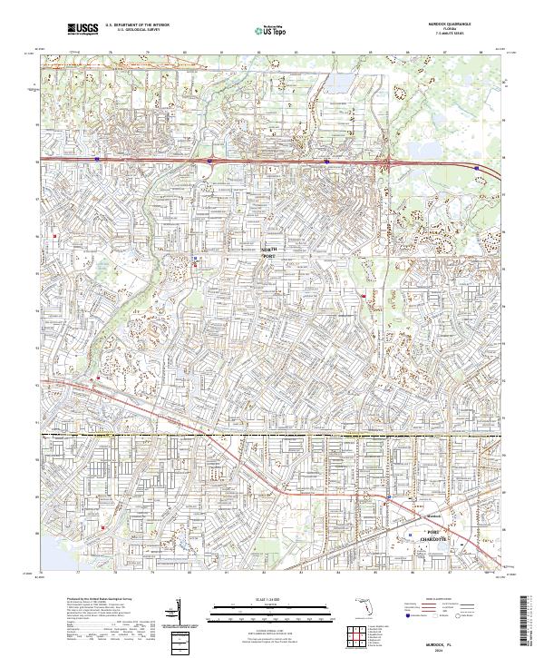
2024 Murdock
Sarasota County, FL
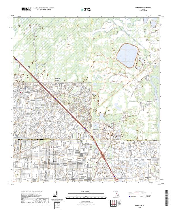
2024 Murdock SE
Sarasota County, FL
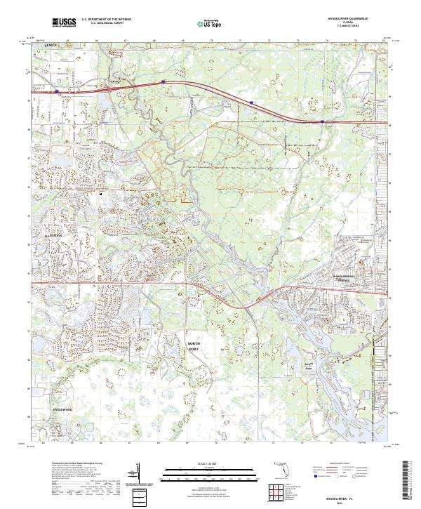
2024 Myakka River
Sarasota County, FL
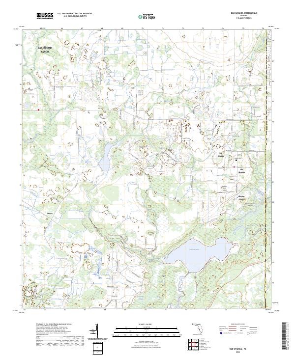
2024 Old Myakka
Sarasota County, FL

2024 Sarasota OE W
Sarasota County, FL
2025 Bird Keys
Sarasota County, FL
2025 Englewood NW
Sarasota County, FL
2025 Sarasota OE W
Sarasota County, FL